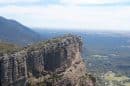

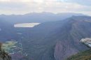

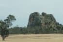


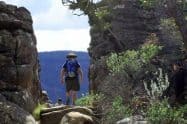
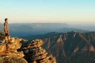


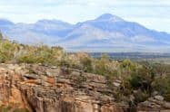


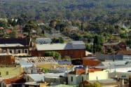


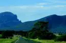


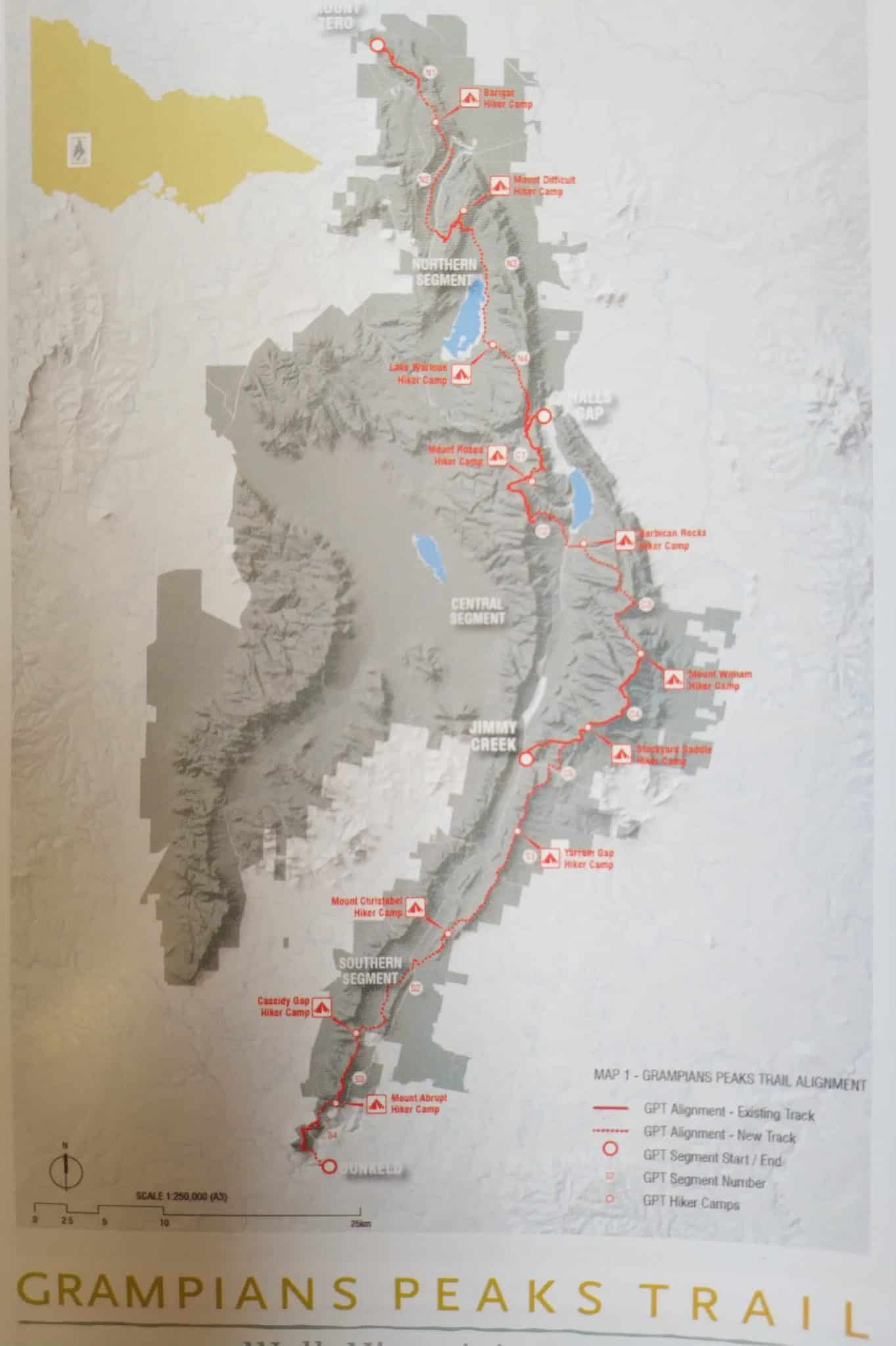
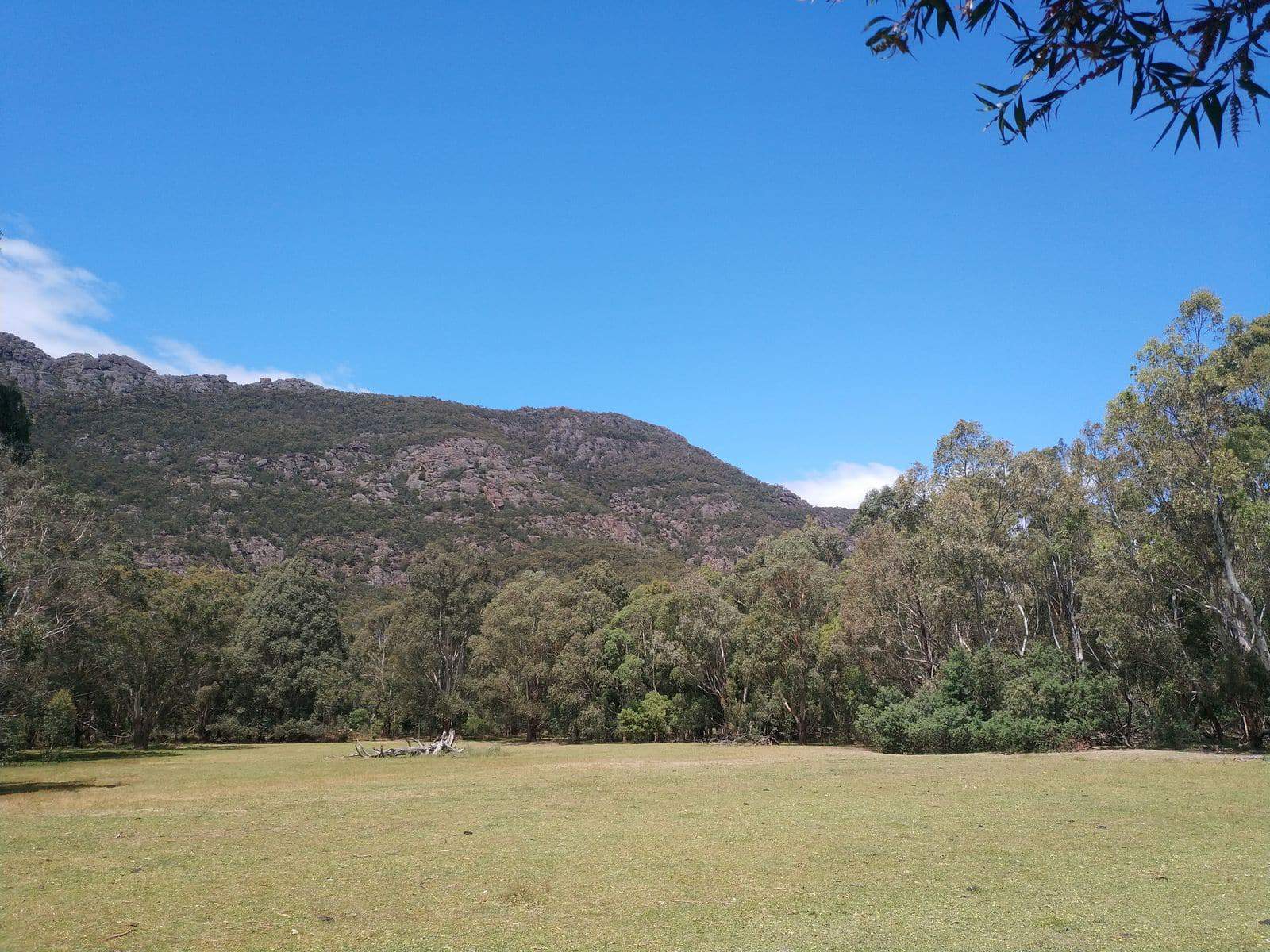
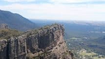
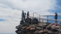
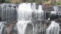
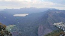
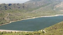
The Grampians Peak Trail makes up part of the Walk Victoria’s Icons long-distance trails.
This world-class trail provides visitors with an exciting 36.6-kilometre walk that requires 3 days and 2 nights to complete.
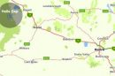
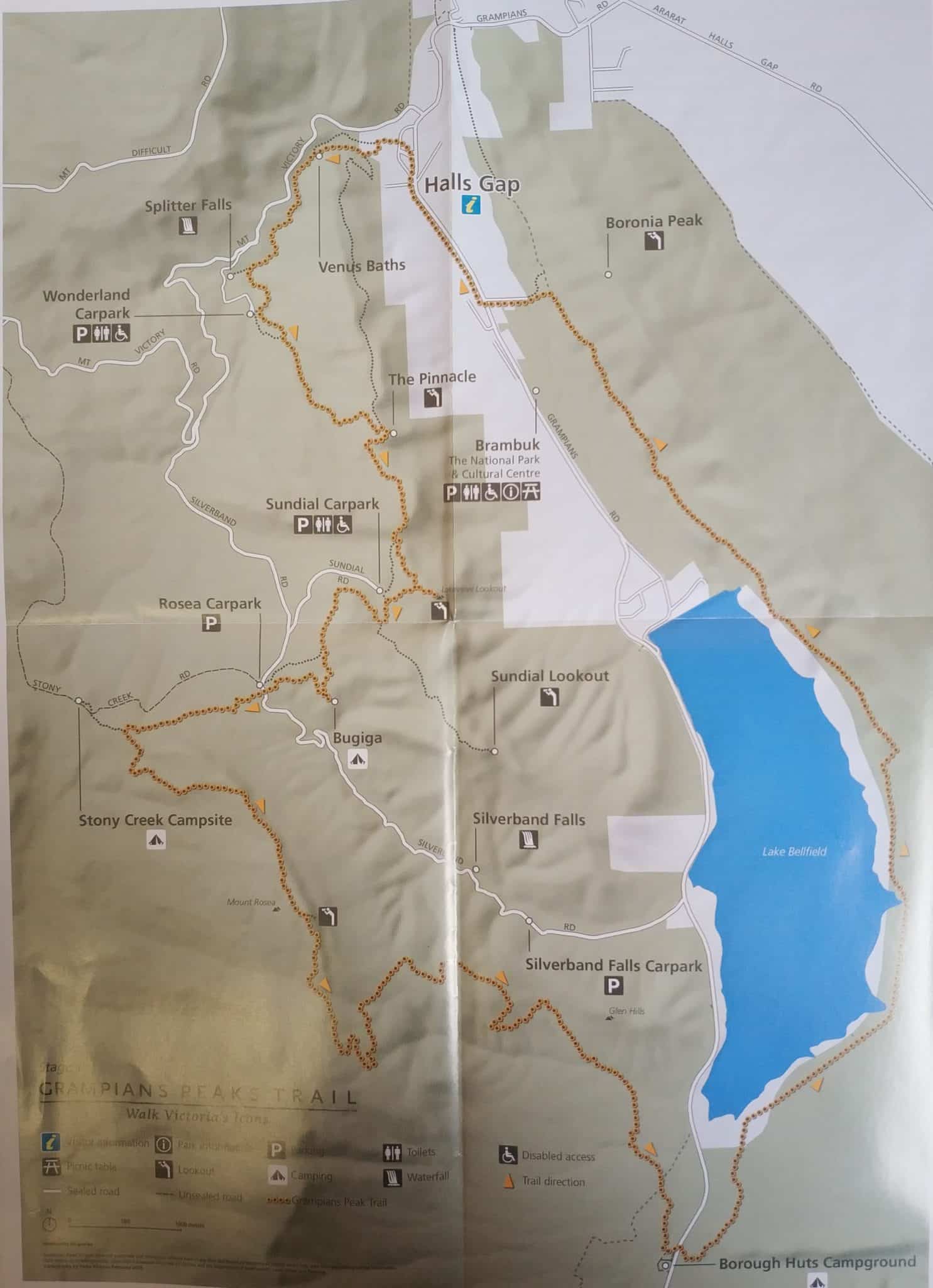
Grampians Peak Trail, 3 Days / 2 Nights Hiking & Camping Map, VIC
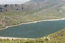
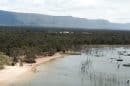
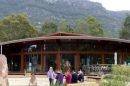
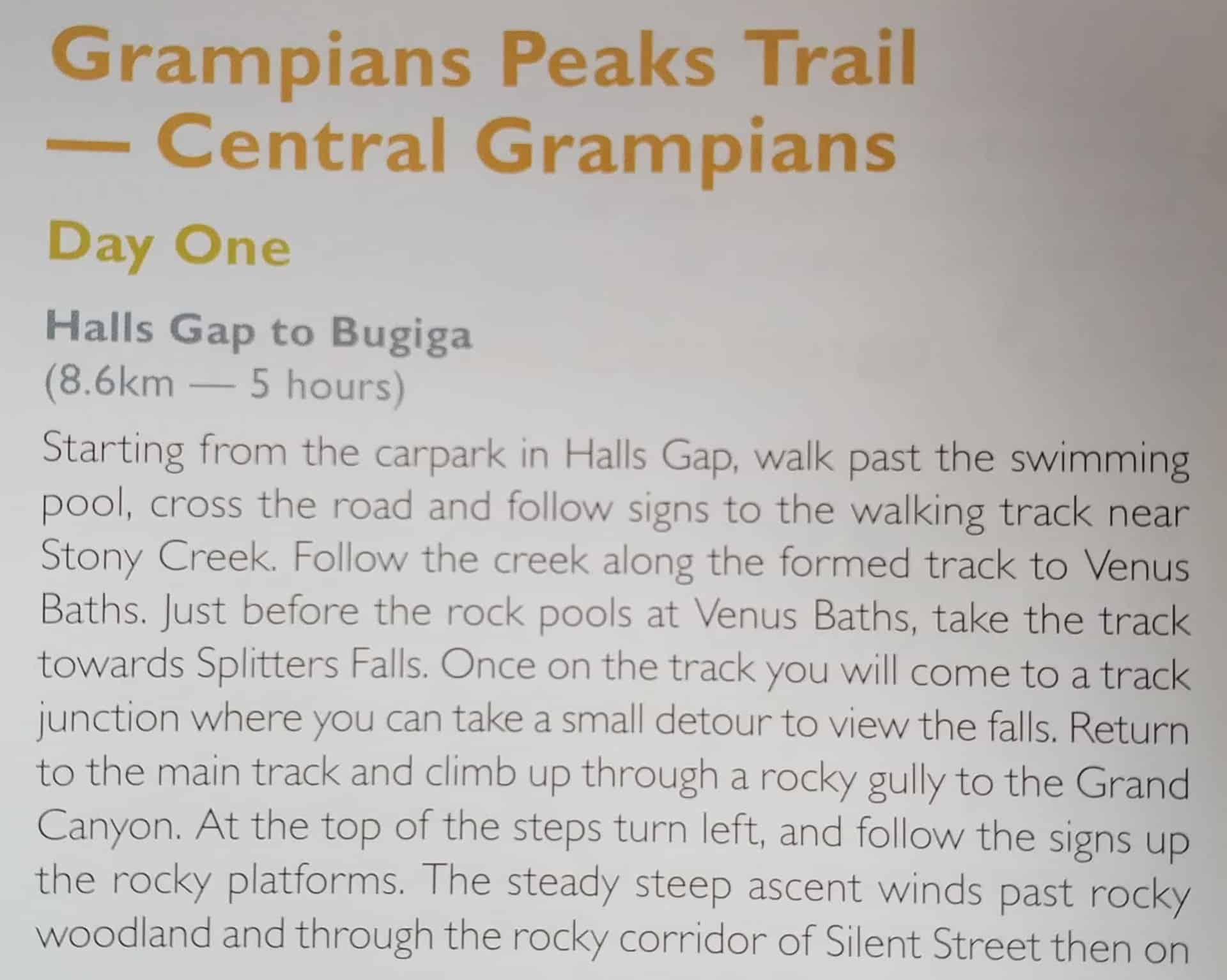
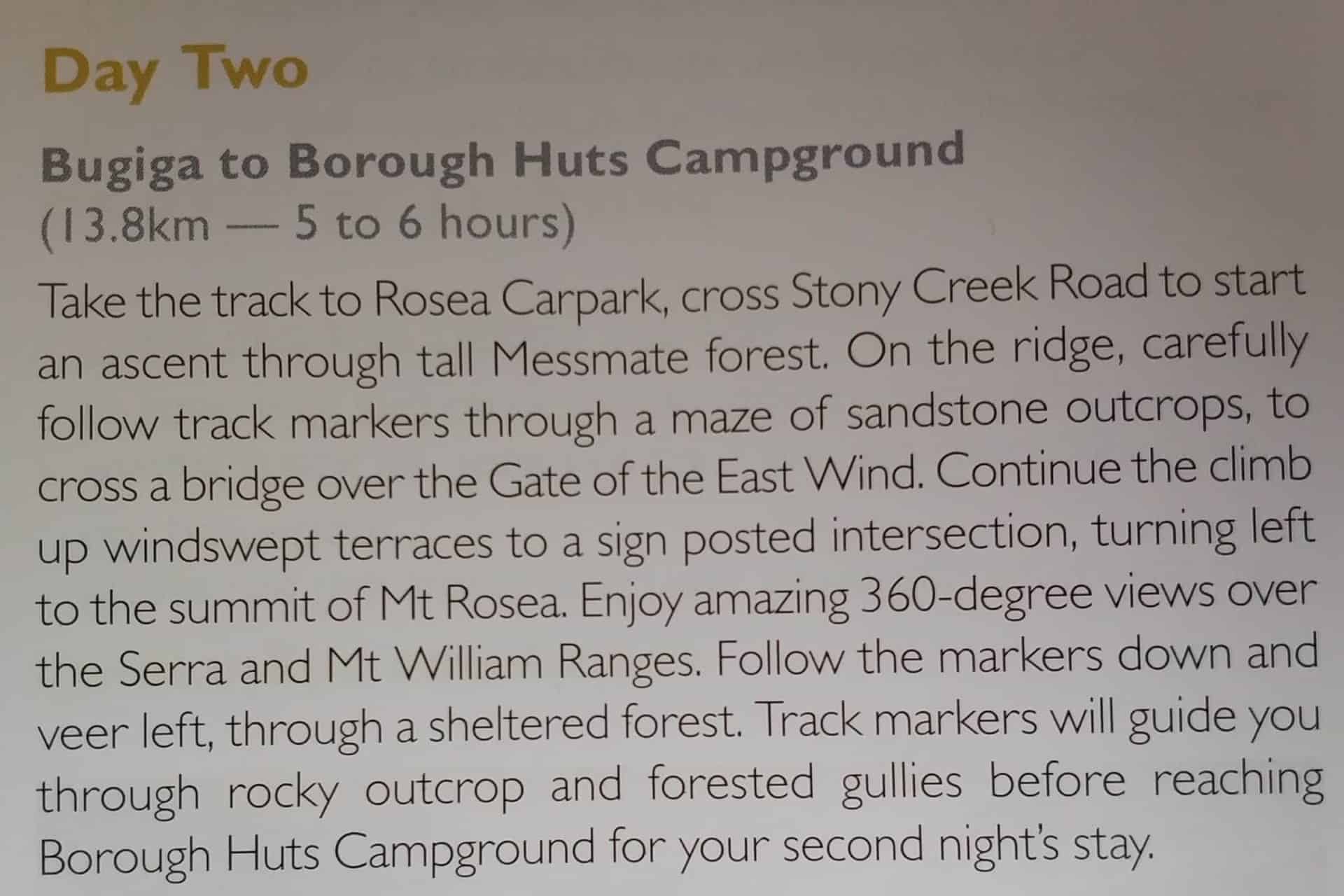
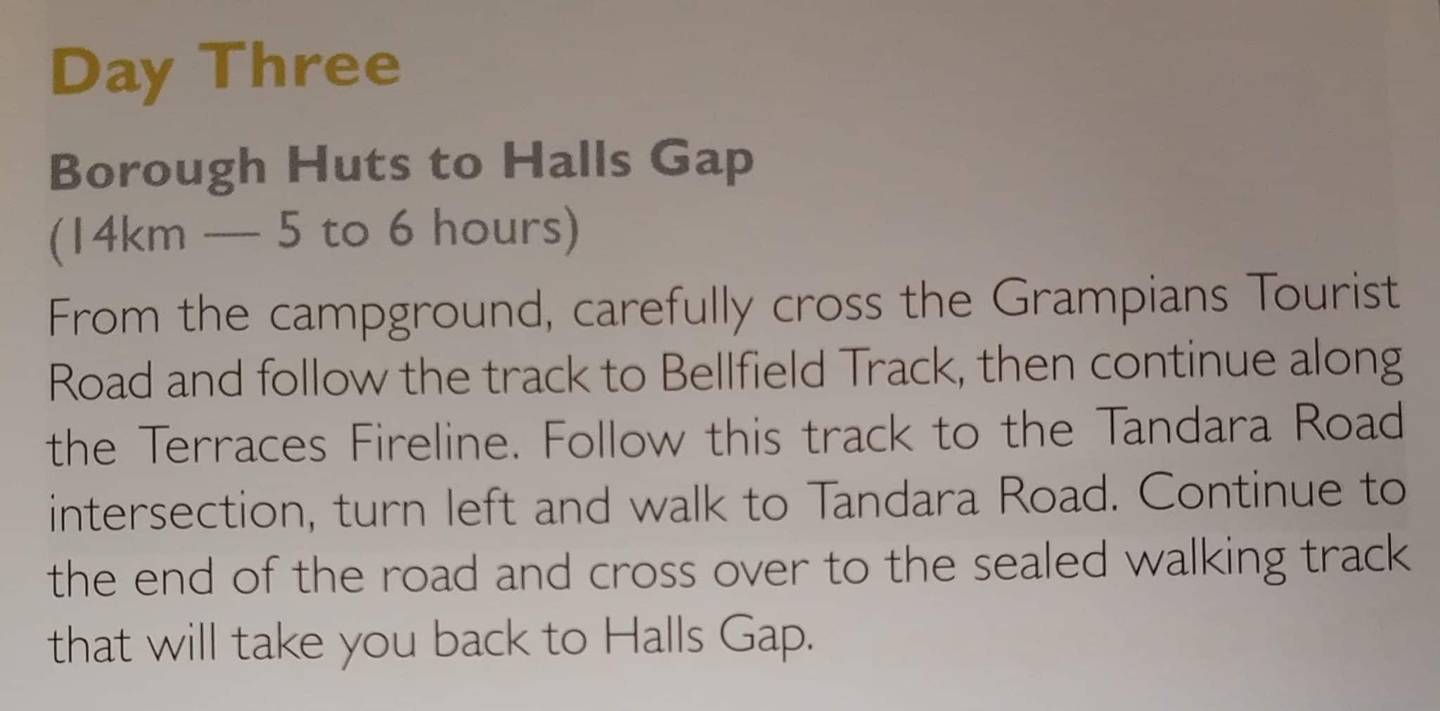
Day one of the Grampians Peak Trail starts at Halls Gap and ends at Bugiga, day two starts at Bugiga and ends at the Borough Huts Campground, and on day 3, it takes you from Borough Huts back to Halls Gap.
There is also the option of condensing the Grampians Peak Trail into an overnight hike using a vehicle to transport you from Borough Huts to the Halls Gap. Visitors can also camp at the Stoney Creek Group Camping Area on night one.
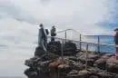
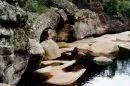
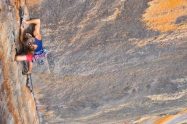
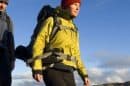
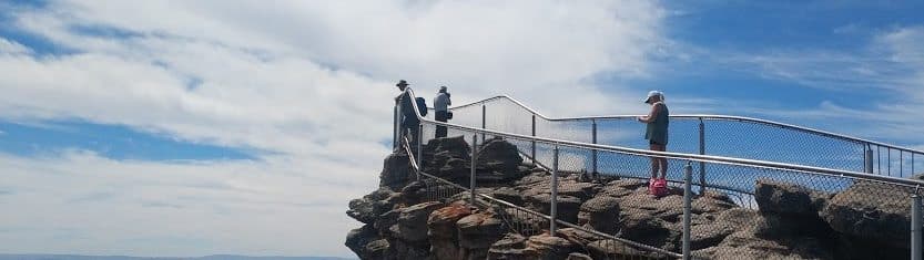
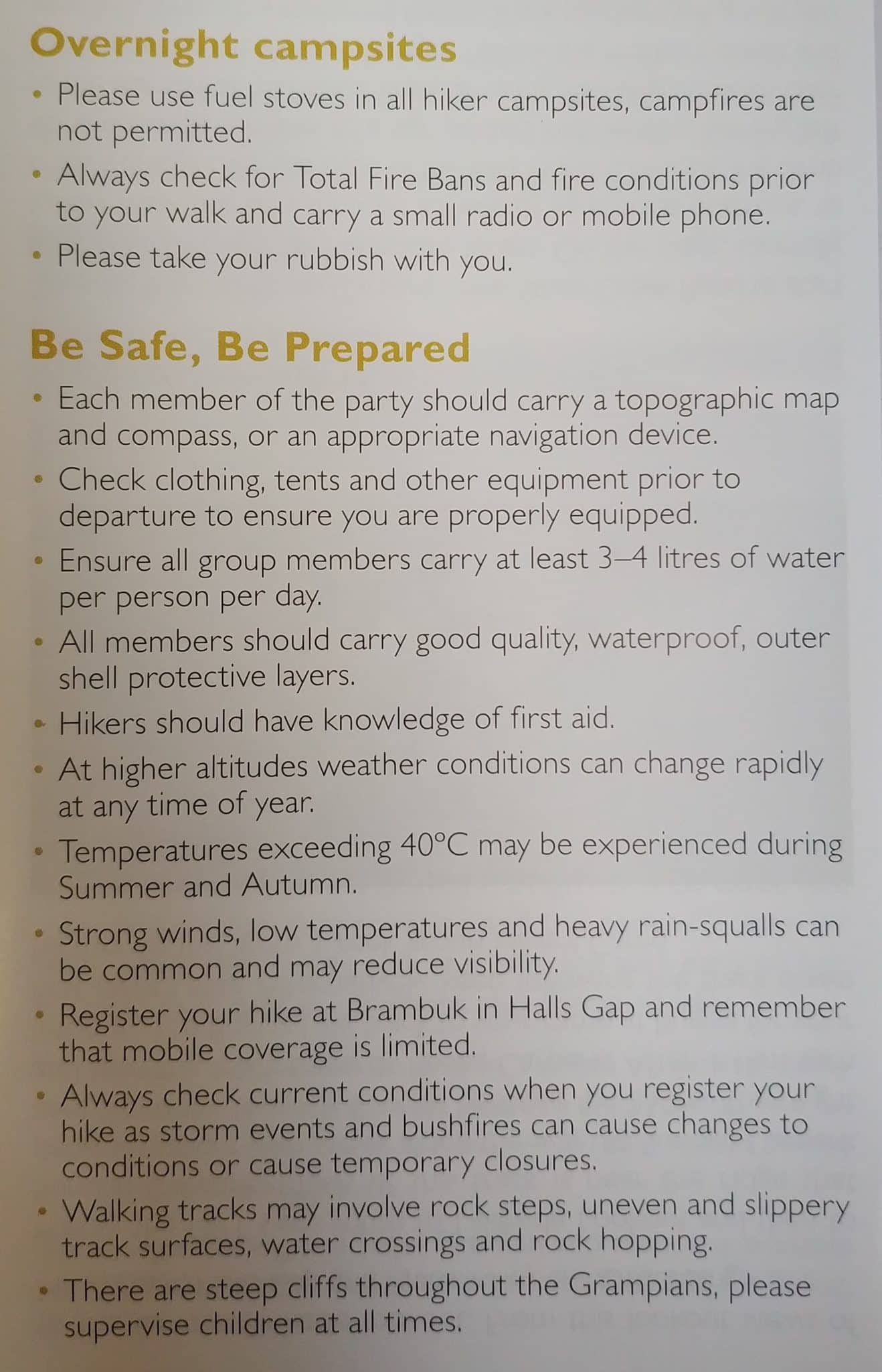
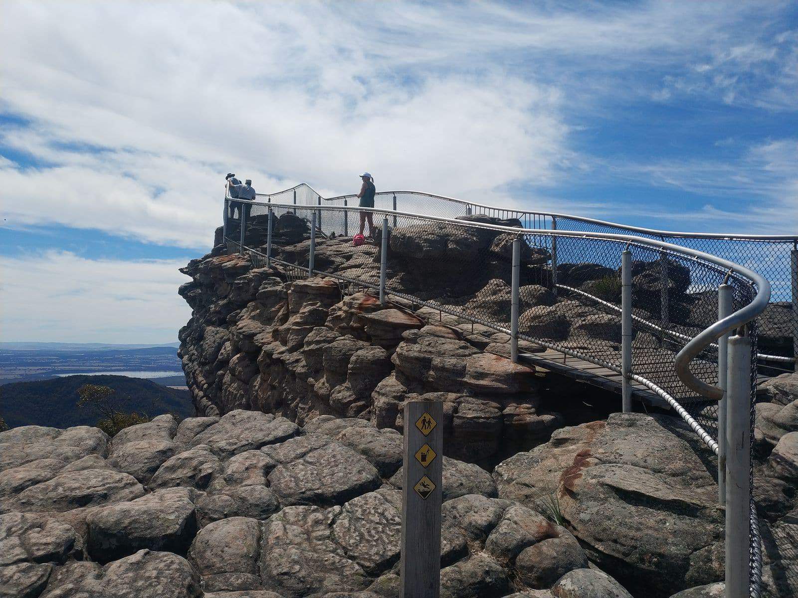
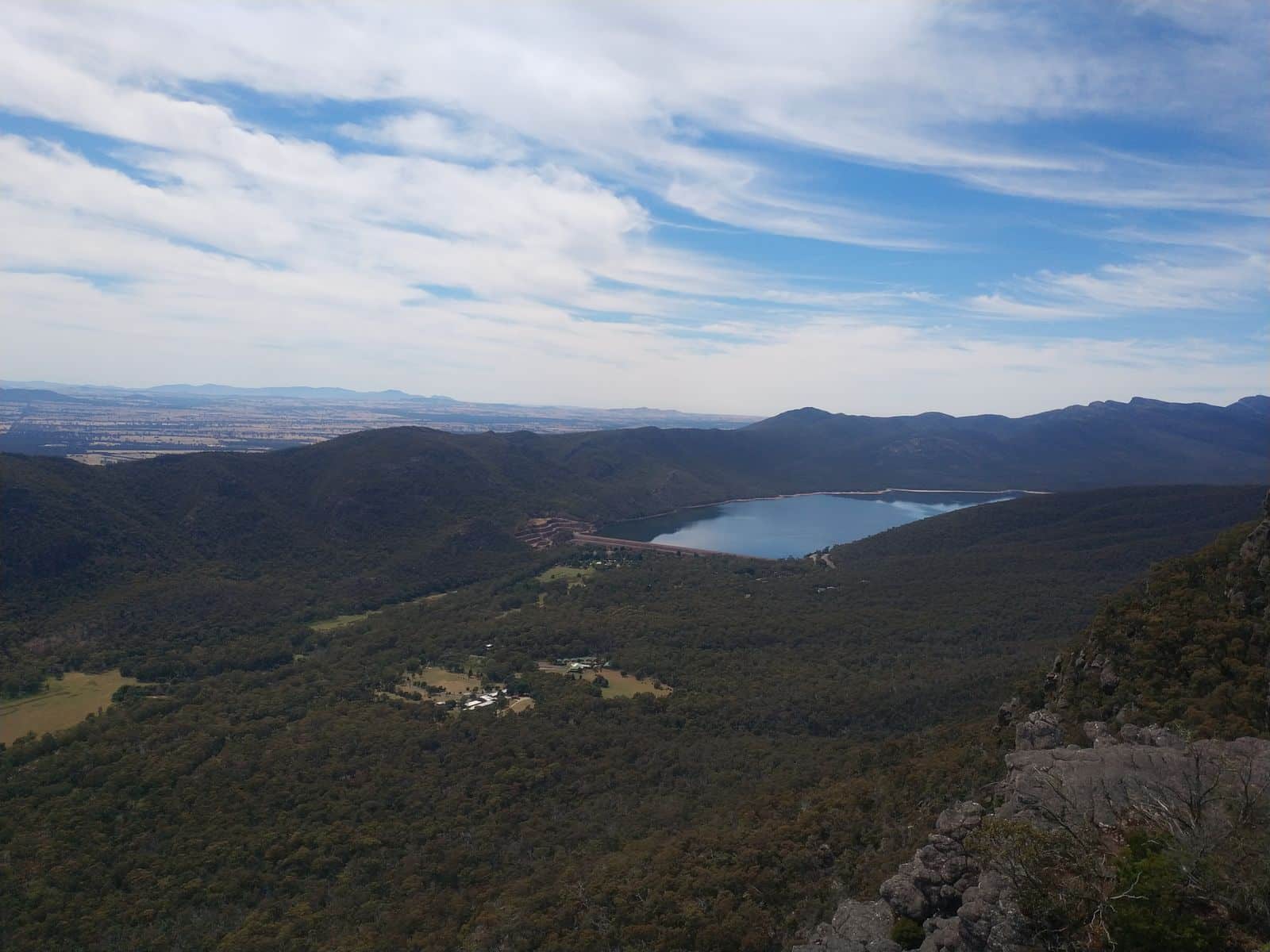
The Grampians Peak Trail is a world-class adventure and though it’s rather arduous, you can hire the help of experienced tour guides. It’s also ideal to have the proper bushwalking attire for safety.
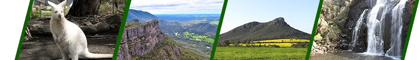
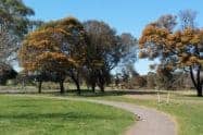
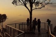
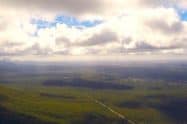
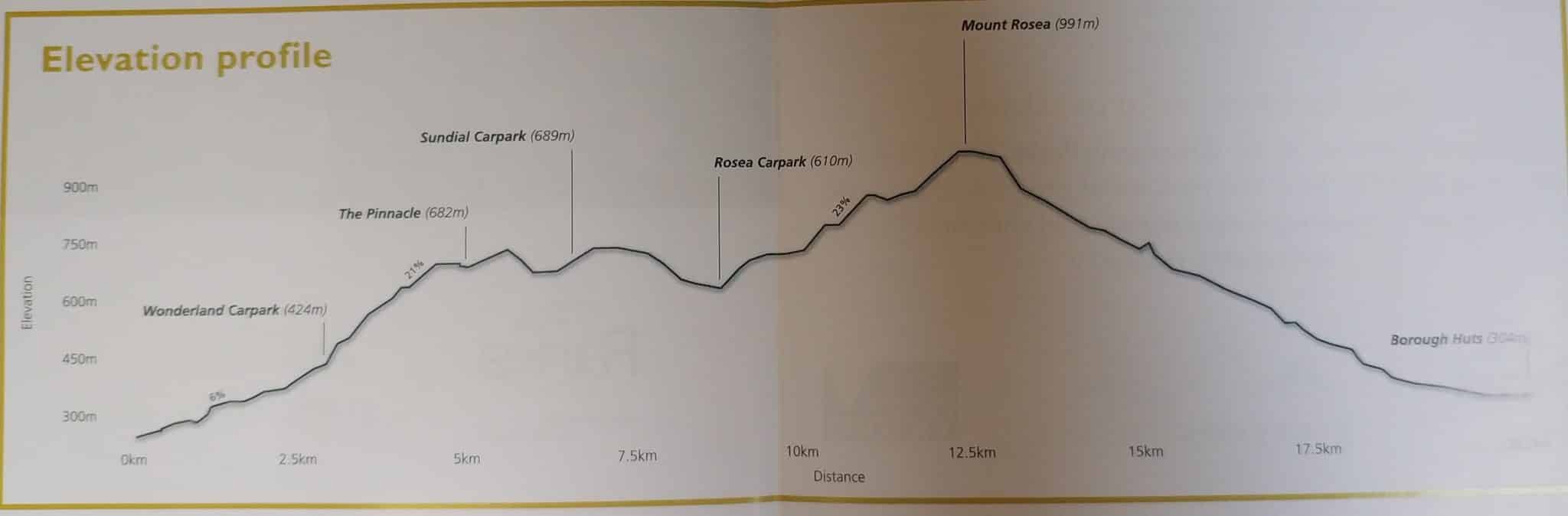
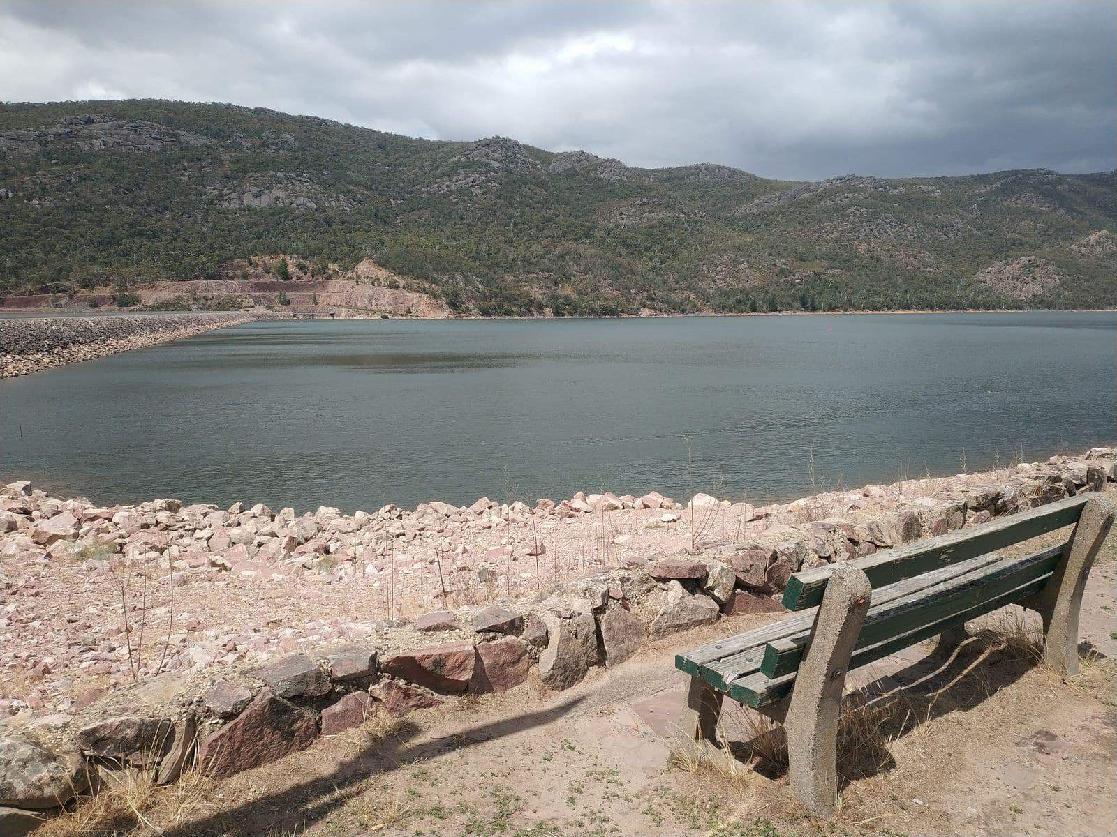
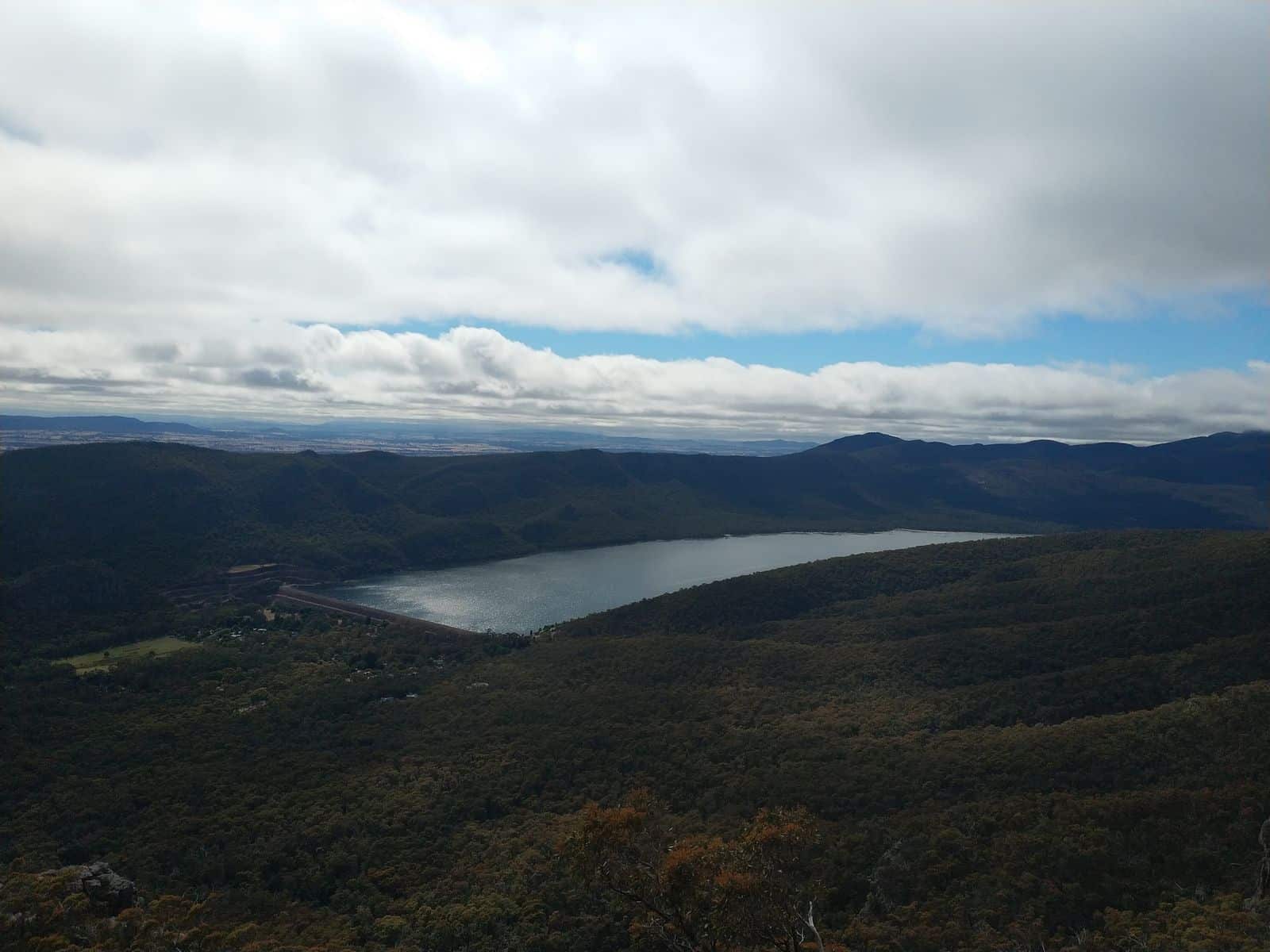
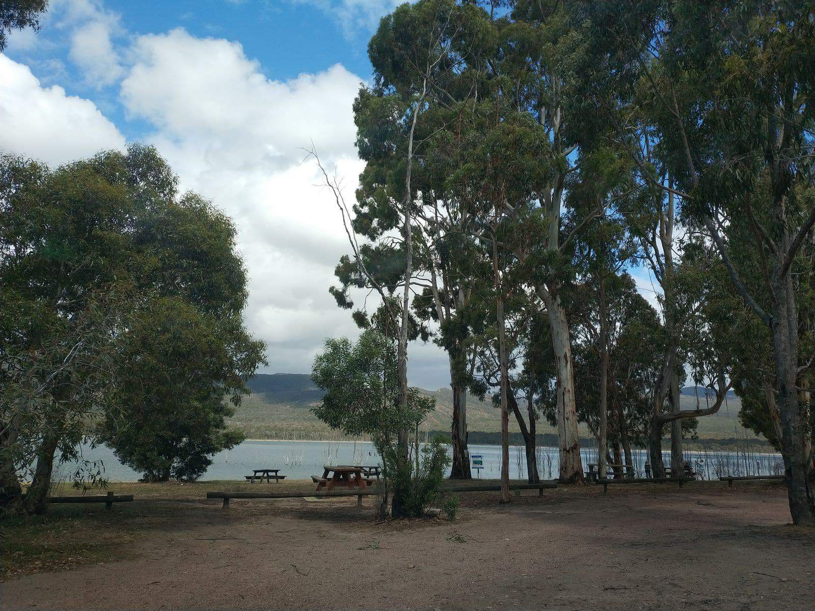
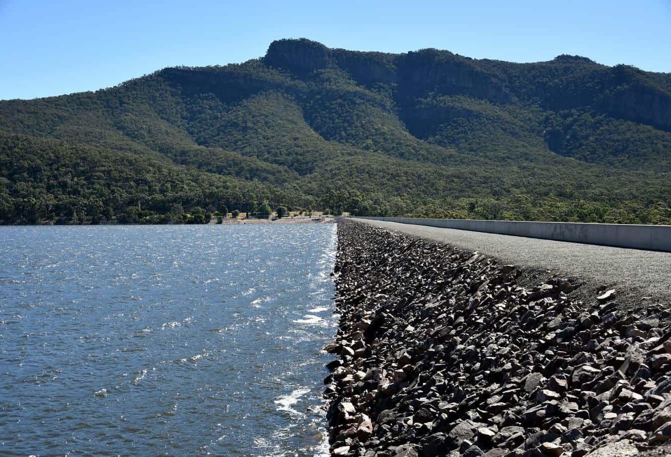
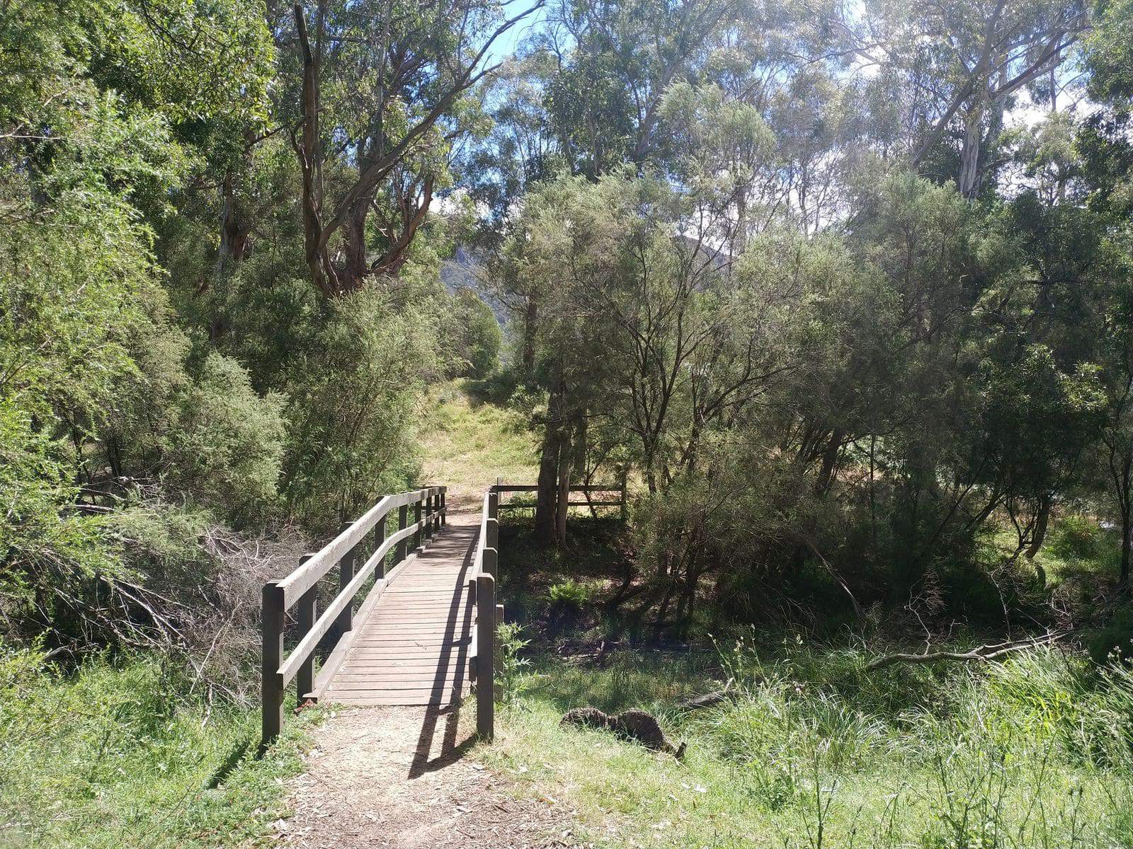
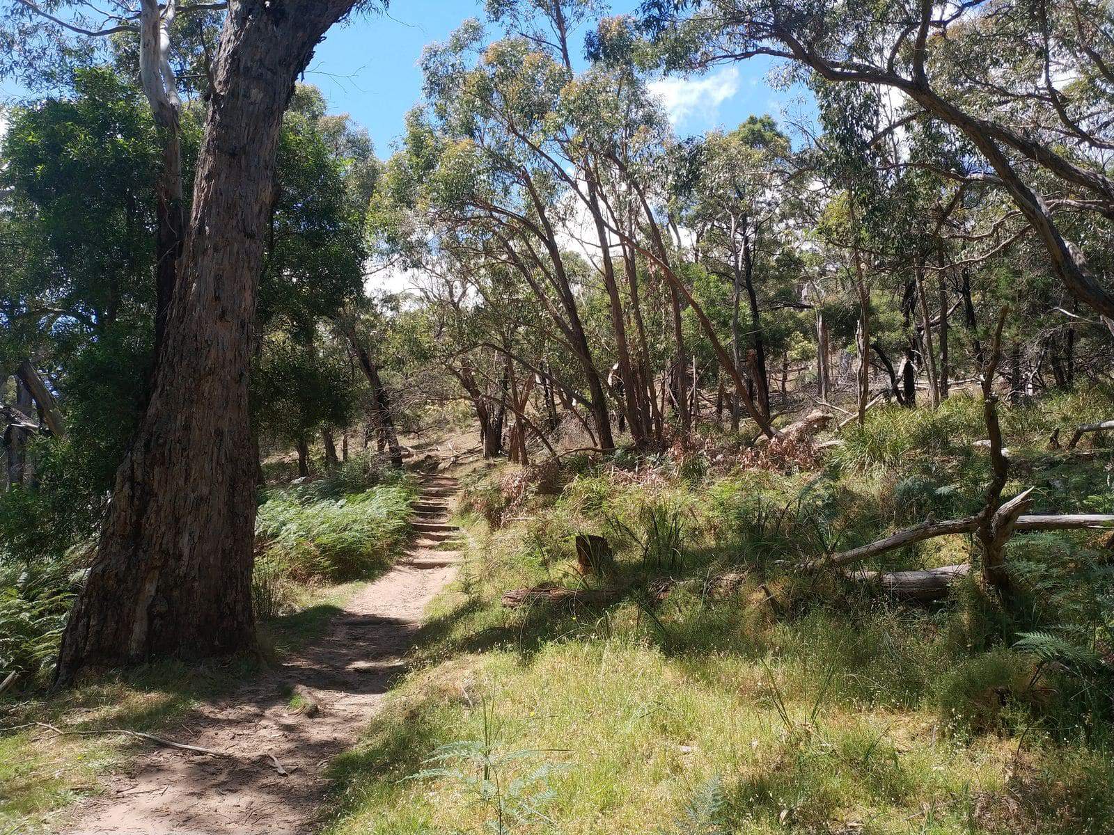
Please check out the image gallery below for helpful information, maps, elevation profile, and day summaries.


Do You Have a Question to Ask?