


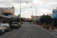


The St Arnaud Regional Park is a well-loved destination by the local community. The entire area is 957 hectares in size, made up of four township blocks within St Arnaud plus two small cultural and historic reserves, a bushland reserve, and 28 hectares of the Wax Gardens state forest.
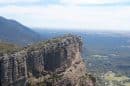
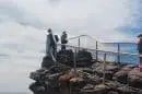
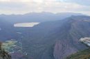
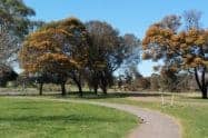
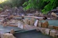
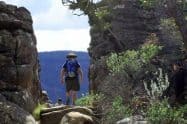
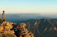
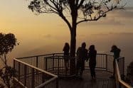
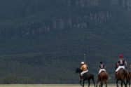
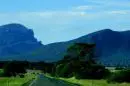
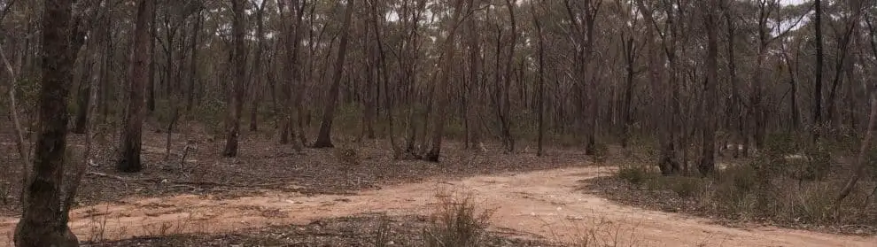
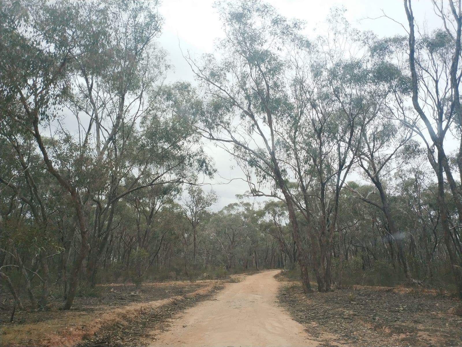
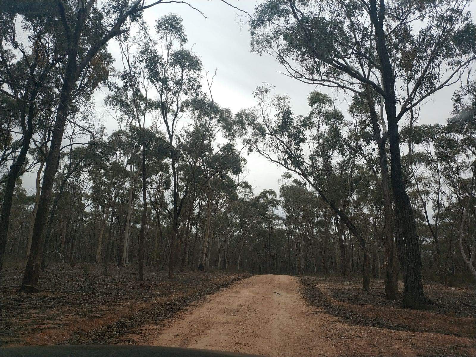
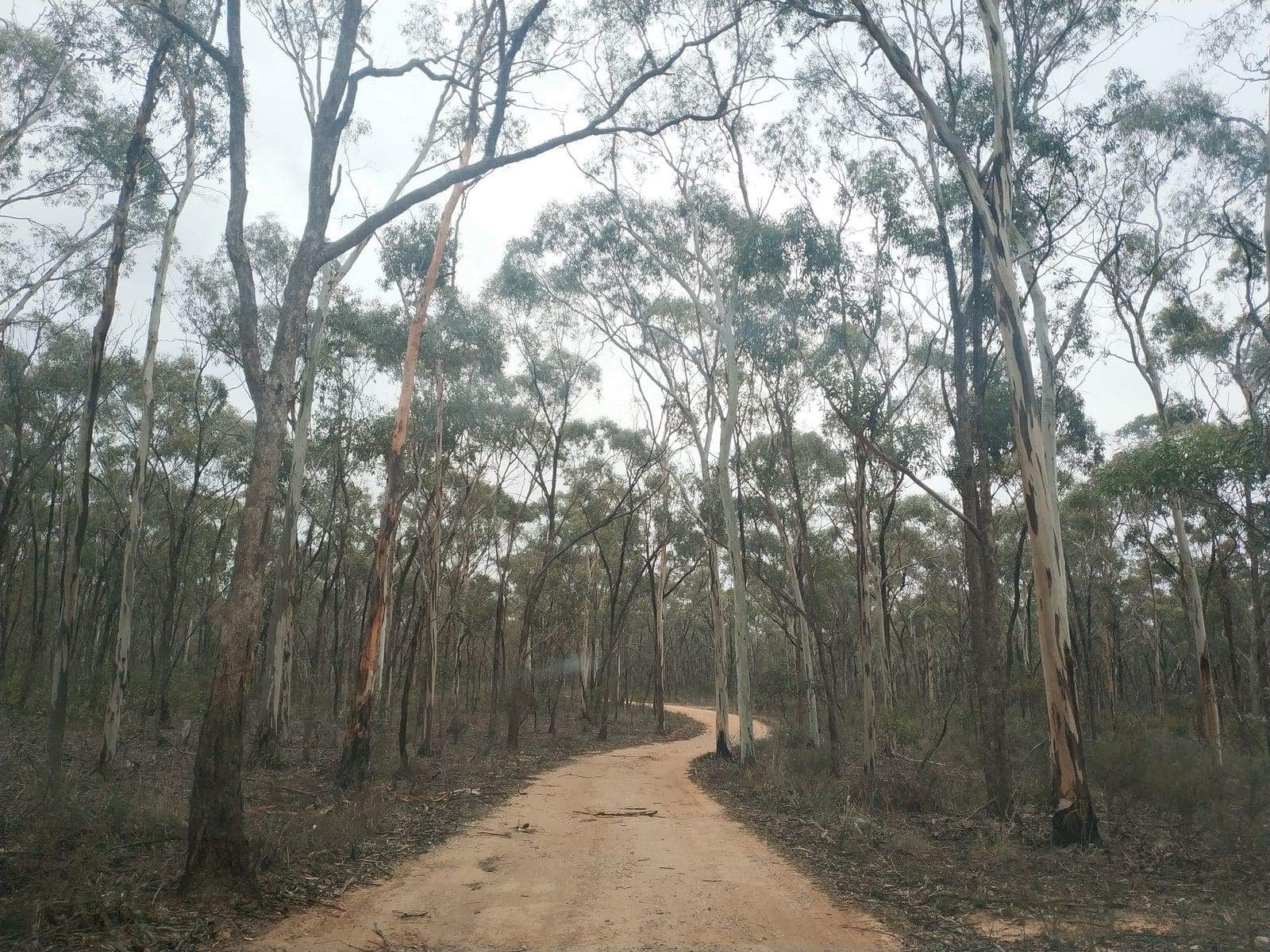
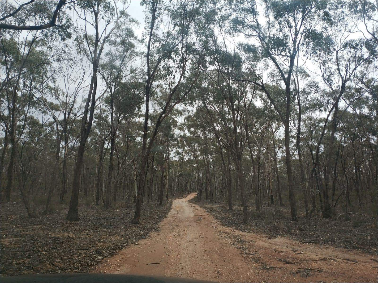
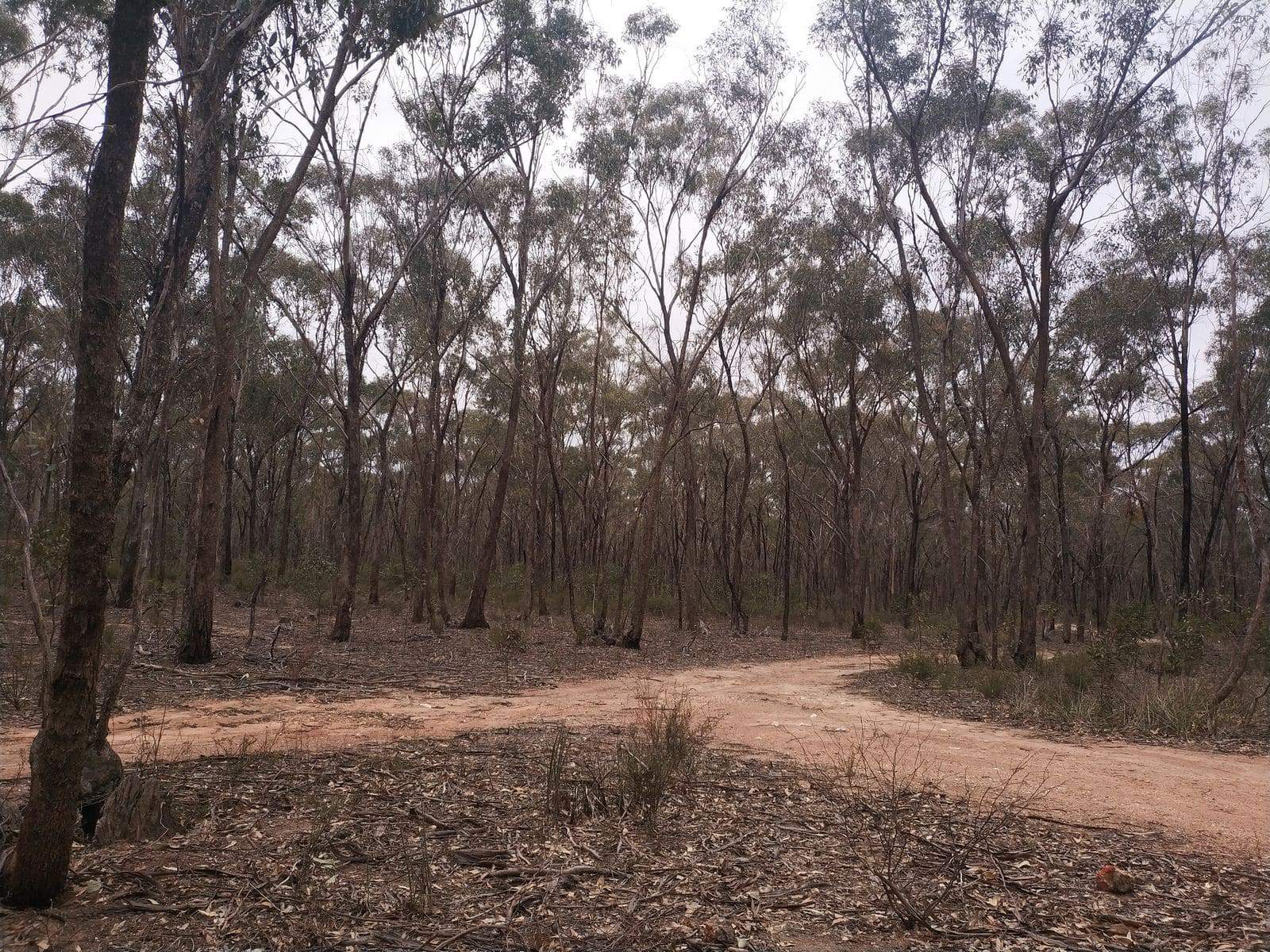
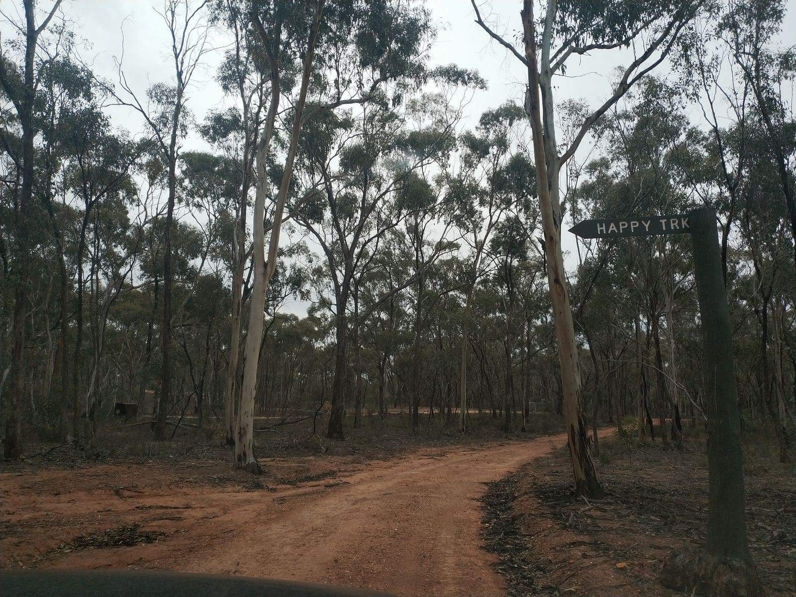
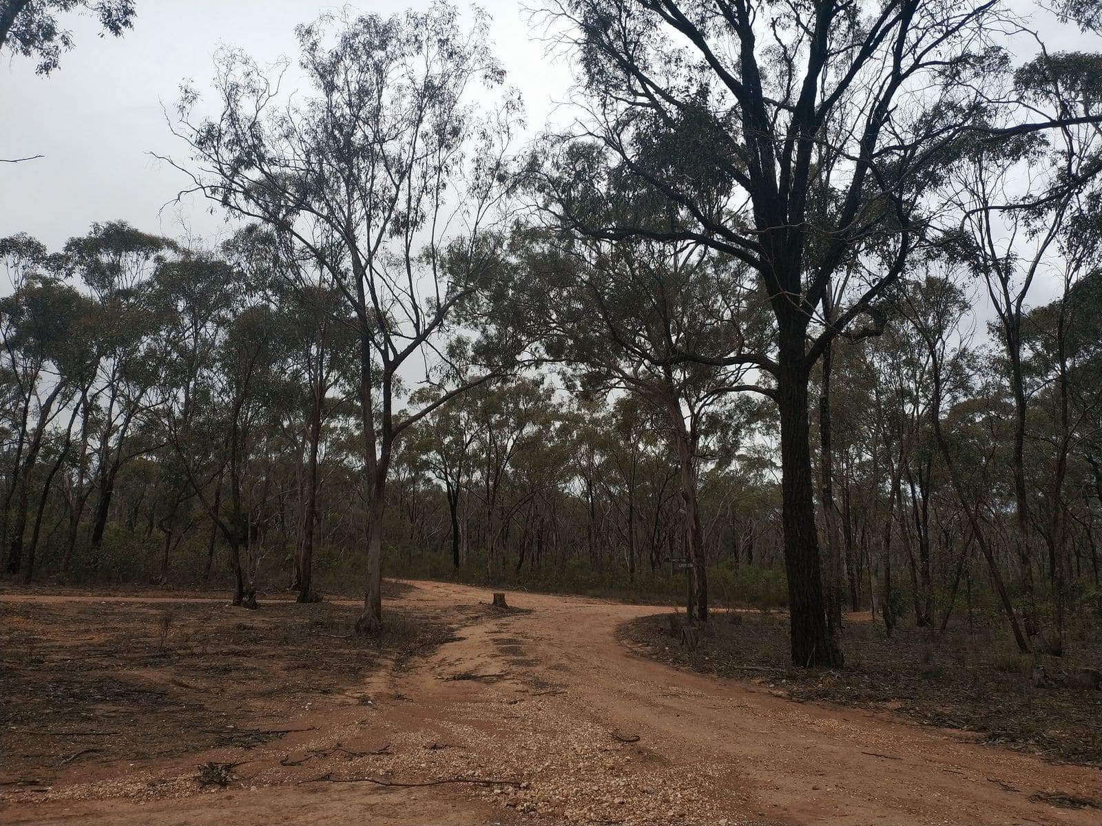
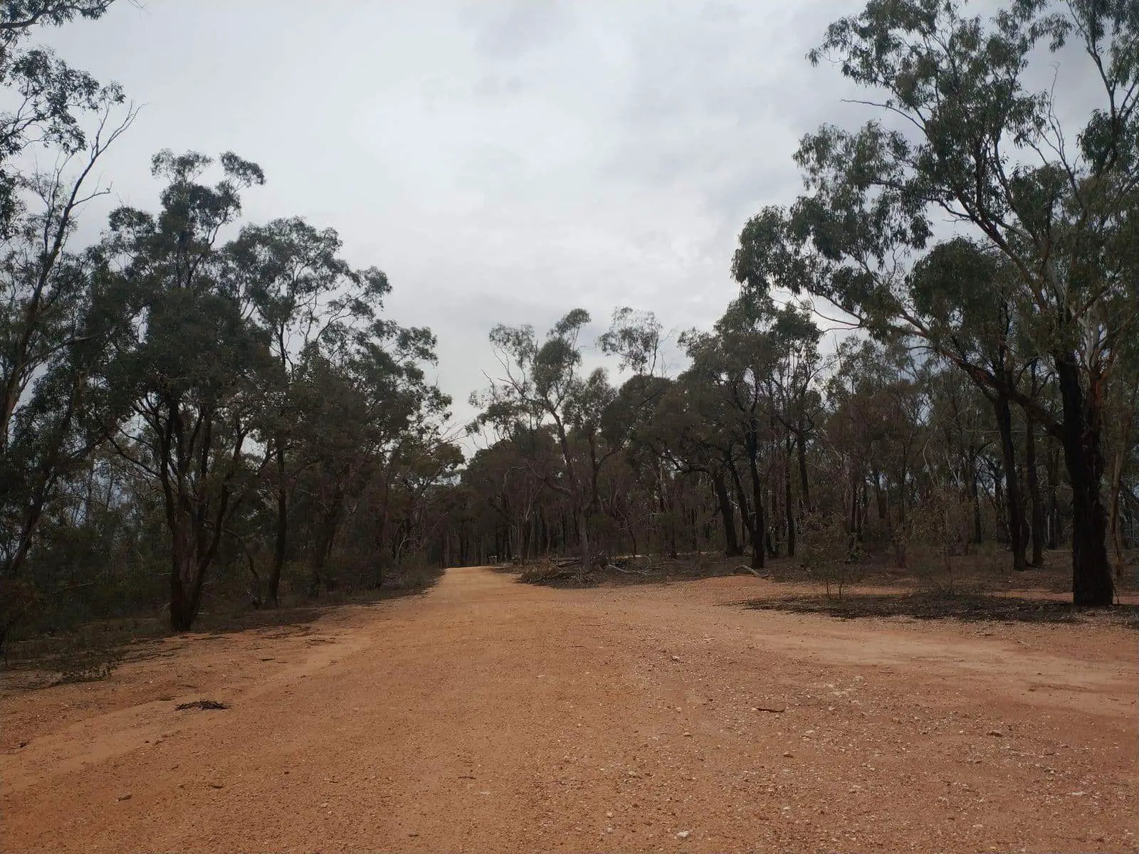
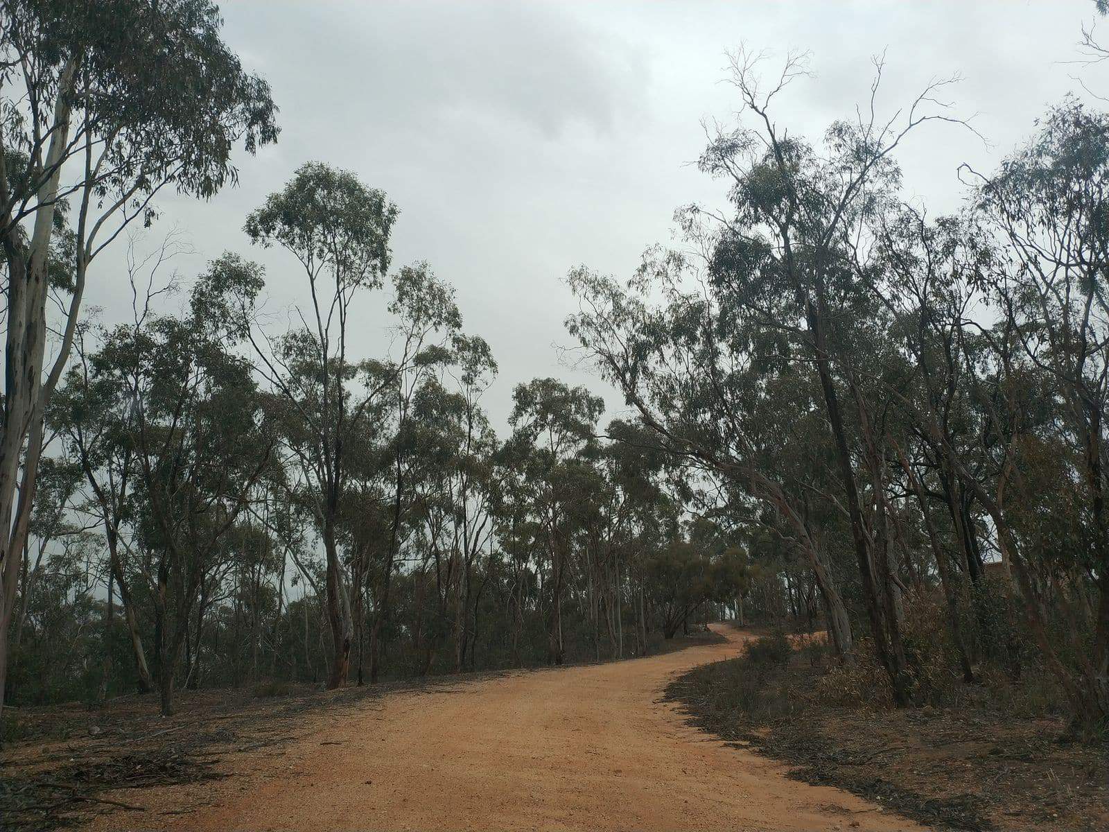
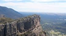
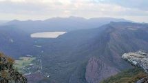
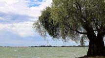
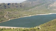
It provides visitors with sweeping views of the town, picnic spots, riding and walking tracks, the forest, old mining sites, the old reservoir, and Bakery Hill.
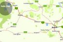
St Arnaud Regional Park, Flora, Fauna, Camping & Picnic Spots Map, VIC
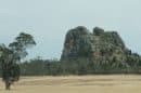
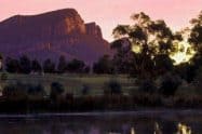
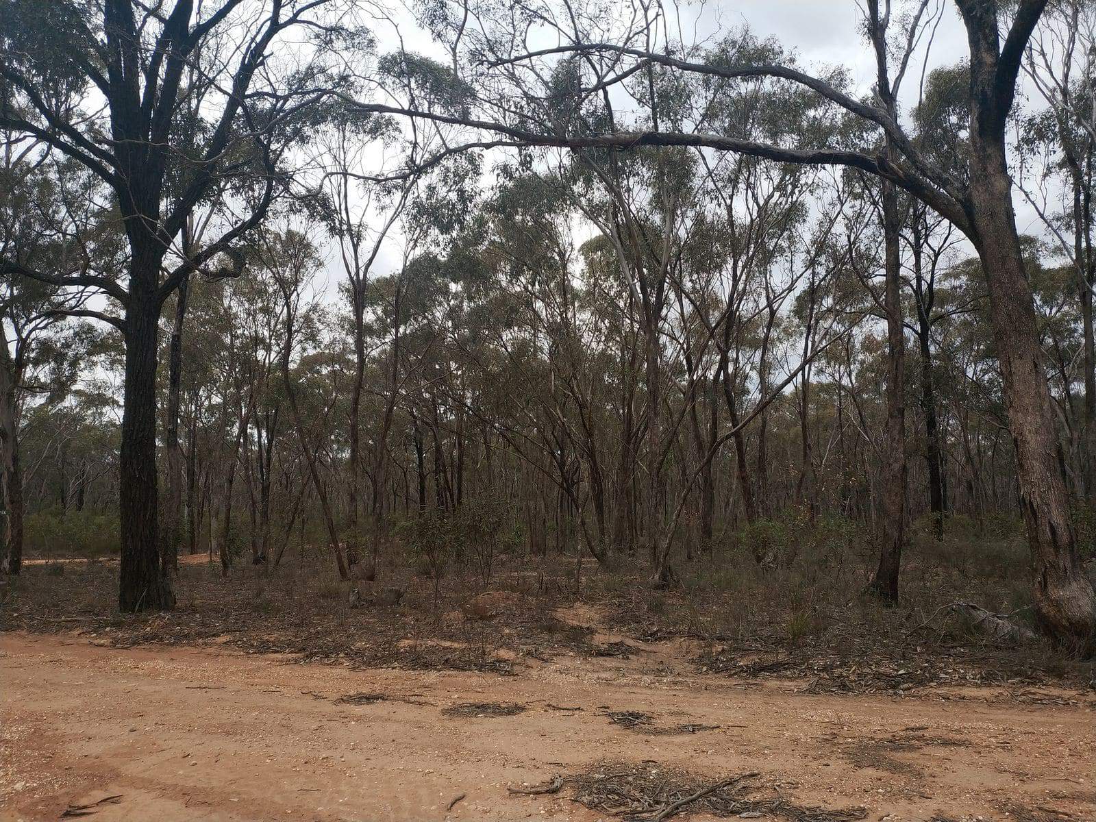
The park is also significant for biodiversity as it is home to threatened flora and fauna, yet here they are able to thrive without being disturbed. Some of the threatened species that call this park home include the cane spear grass and swift parrot. It also supports a healthy population of grass trees found at View Point, and sticky boronia at Bell Rock.St Arnaud Regional Park is of notable interest for tourism and recreation, particularly for visitors who come for field naturalist studies, aquatic activities in the old town reservoir, and historic site appreciation.
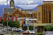
History enthusiasts should check out the historic mining sites including the New Bendigo Company, Brownings Luck Company, St Arnaud Gold Mining Company, the Chinese village, and Kershaws charcoal site.
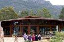
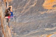
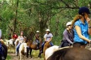
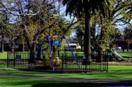
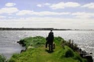
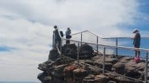
For visitors who want to unwind in the St Arnaud Regional Park, facilities include picnic spots and some camping access. It’s also a great place for a day of bushwalking, horse riding, cycling, and observing nature.


Do You Have a Question to Ask?