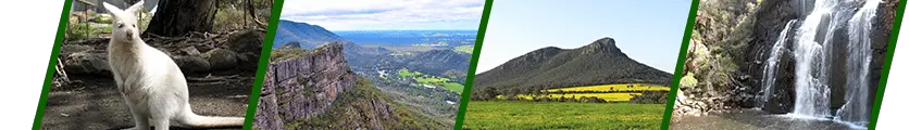
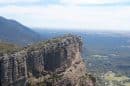

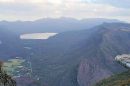

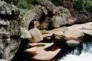

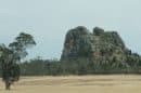


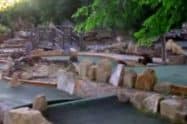


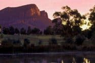


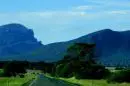


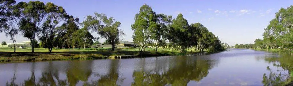
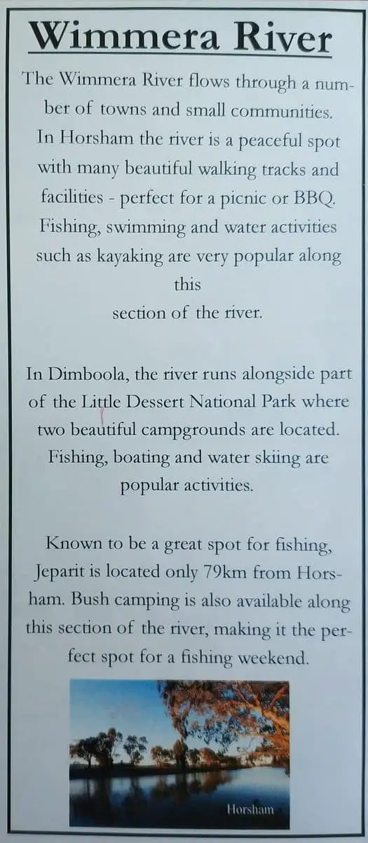
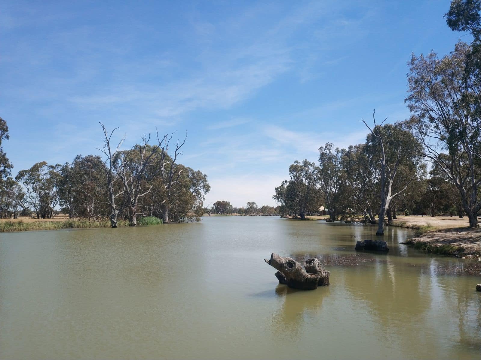
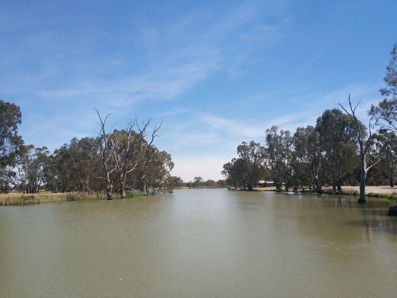
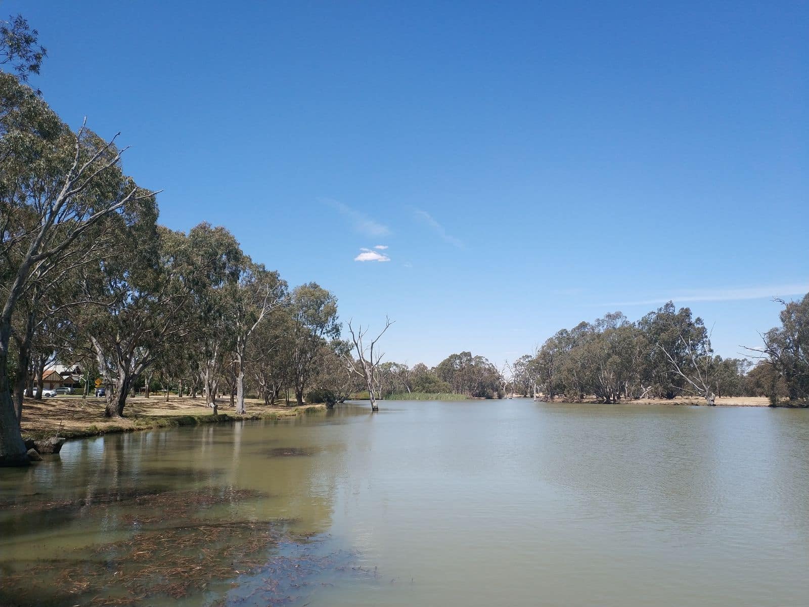
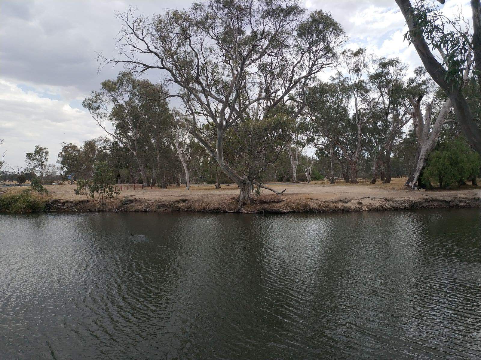
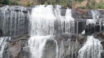
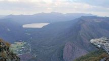
The Wimmera River is located in the Grampians, a picturesque location in the north-west of Victoria. A popular attraction, the river is a must-visit for nature enthusiasts.
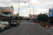
The river flows through Horsham and is a key part of the Wimmera catchment area. In addition to water supply, the river has numerous features that make it ideal for visitors.
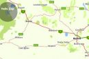
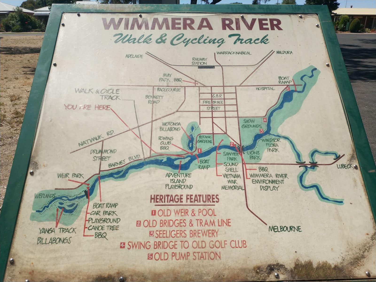
Wimmera River Map, Fishing & Camping, Victoria
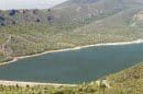
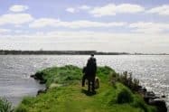
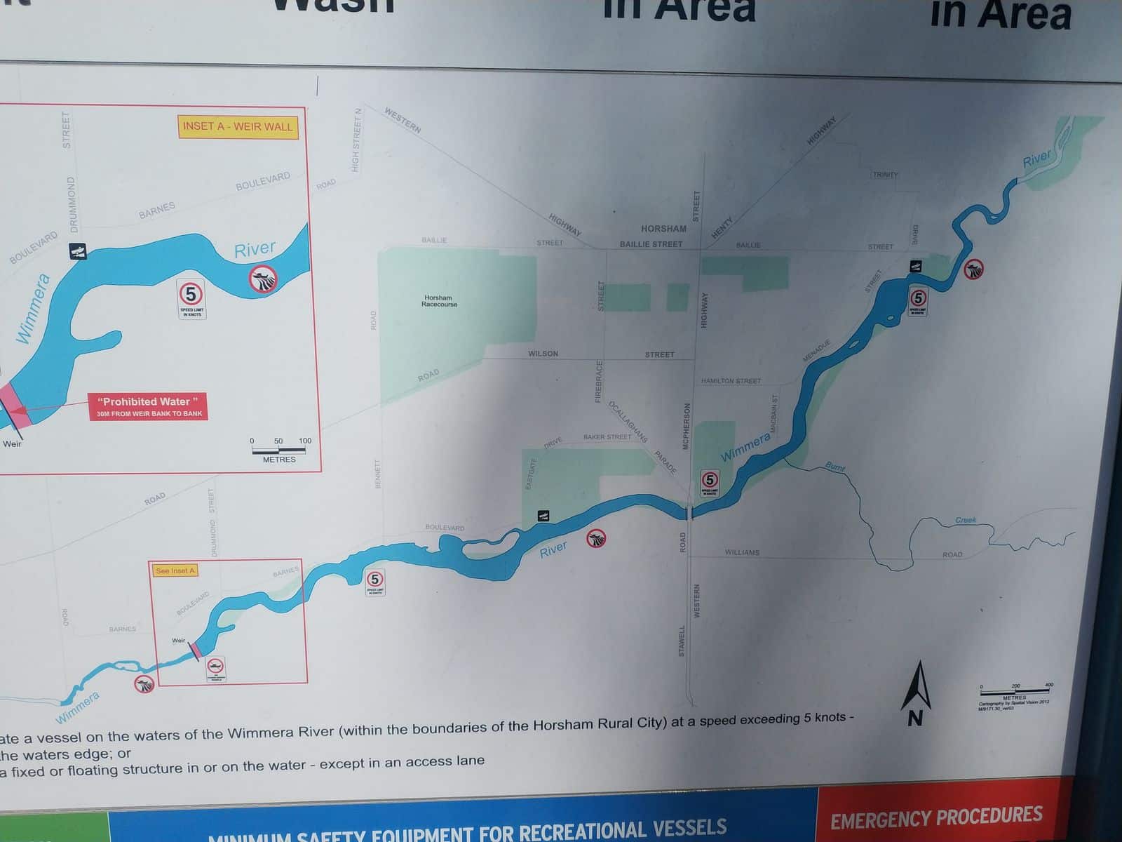
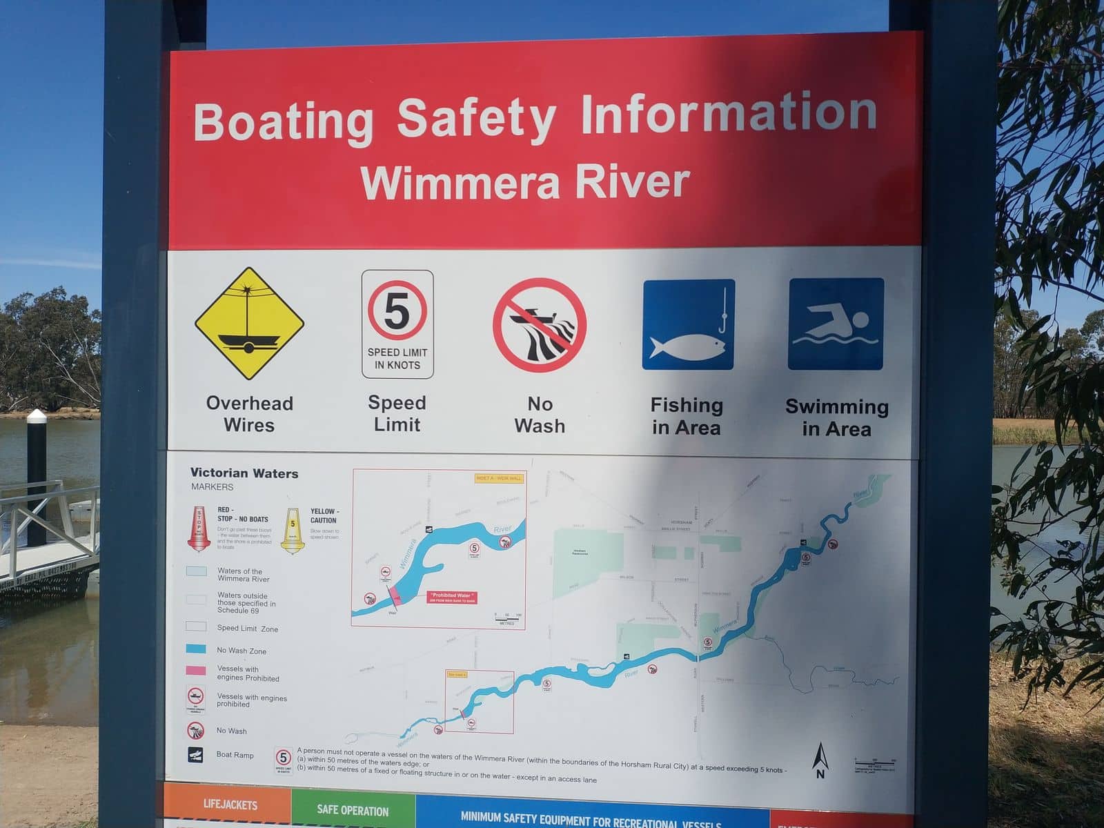
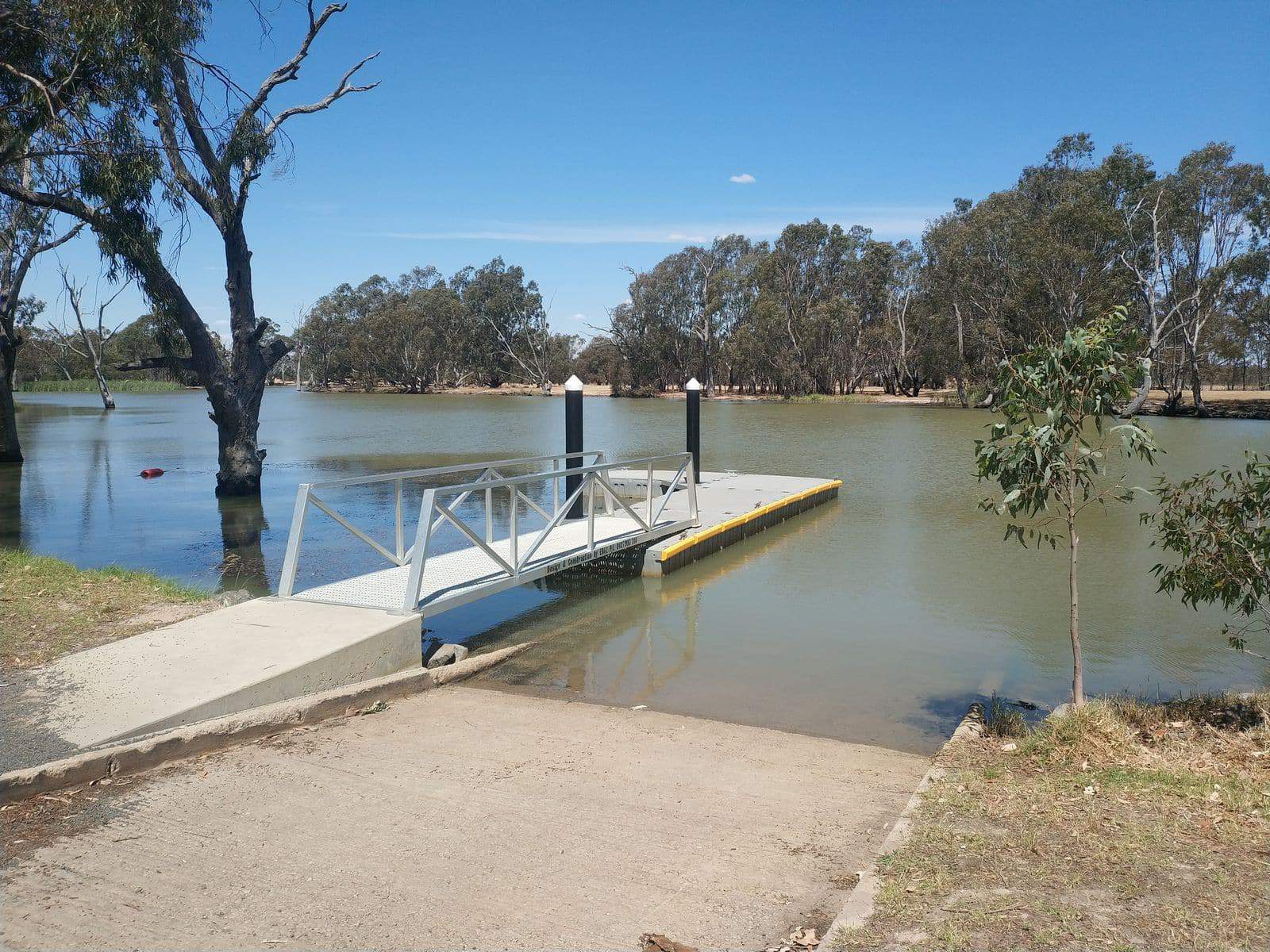
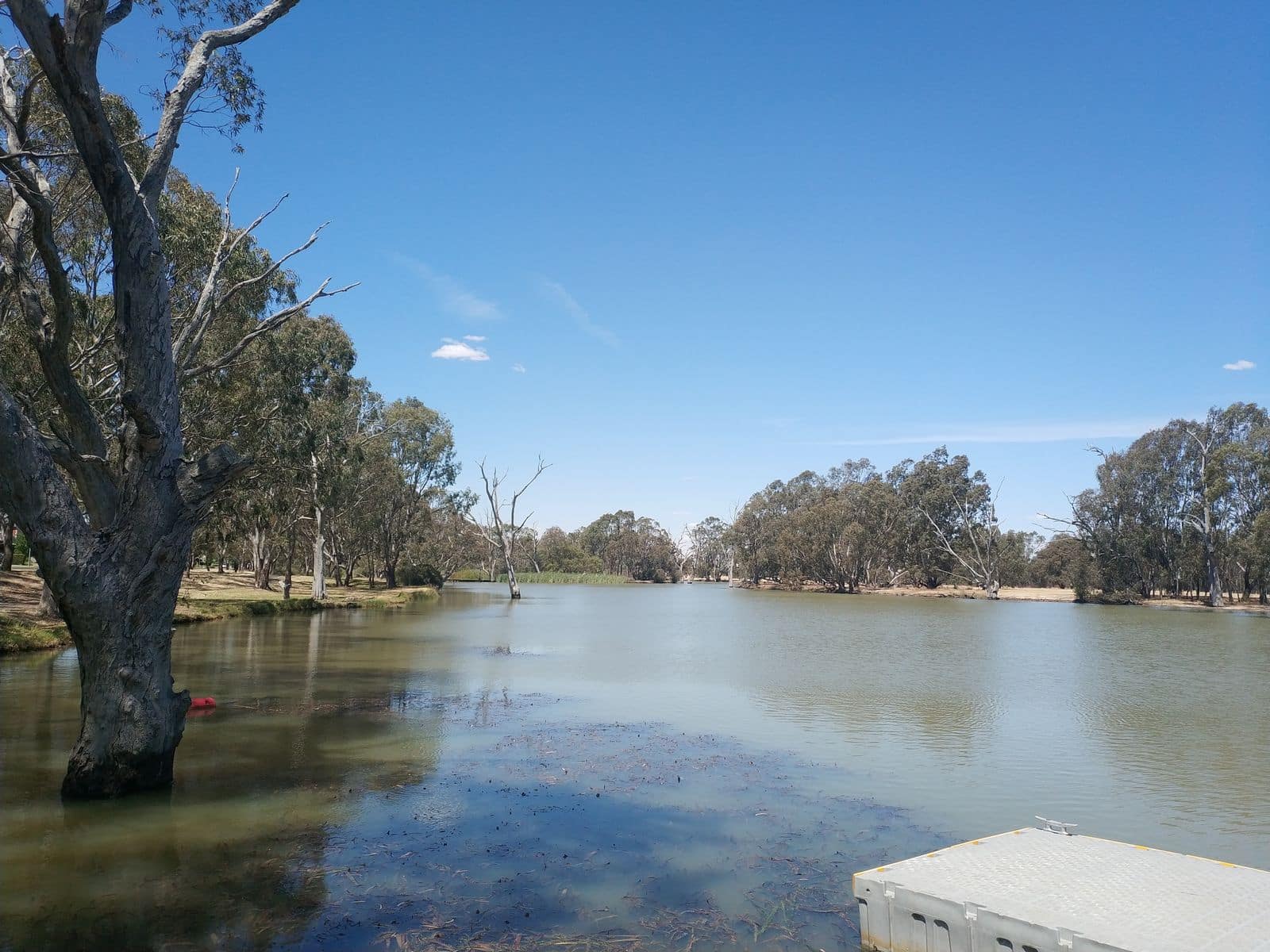
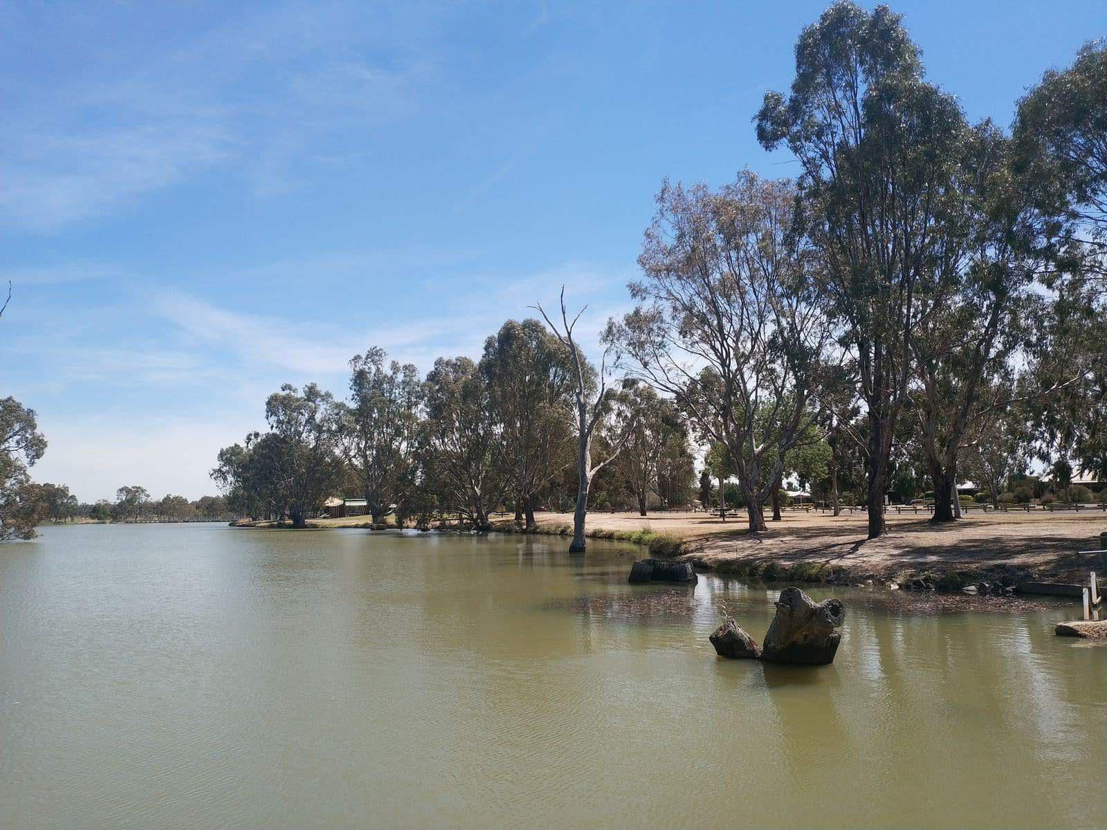
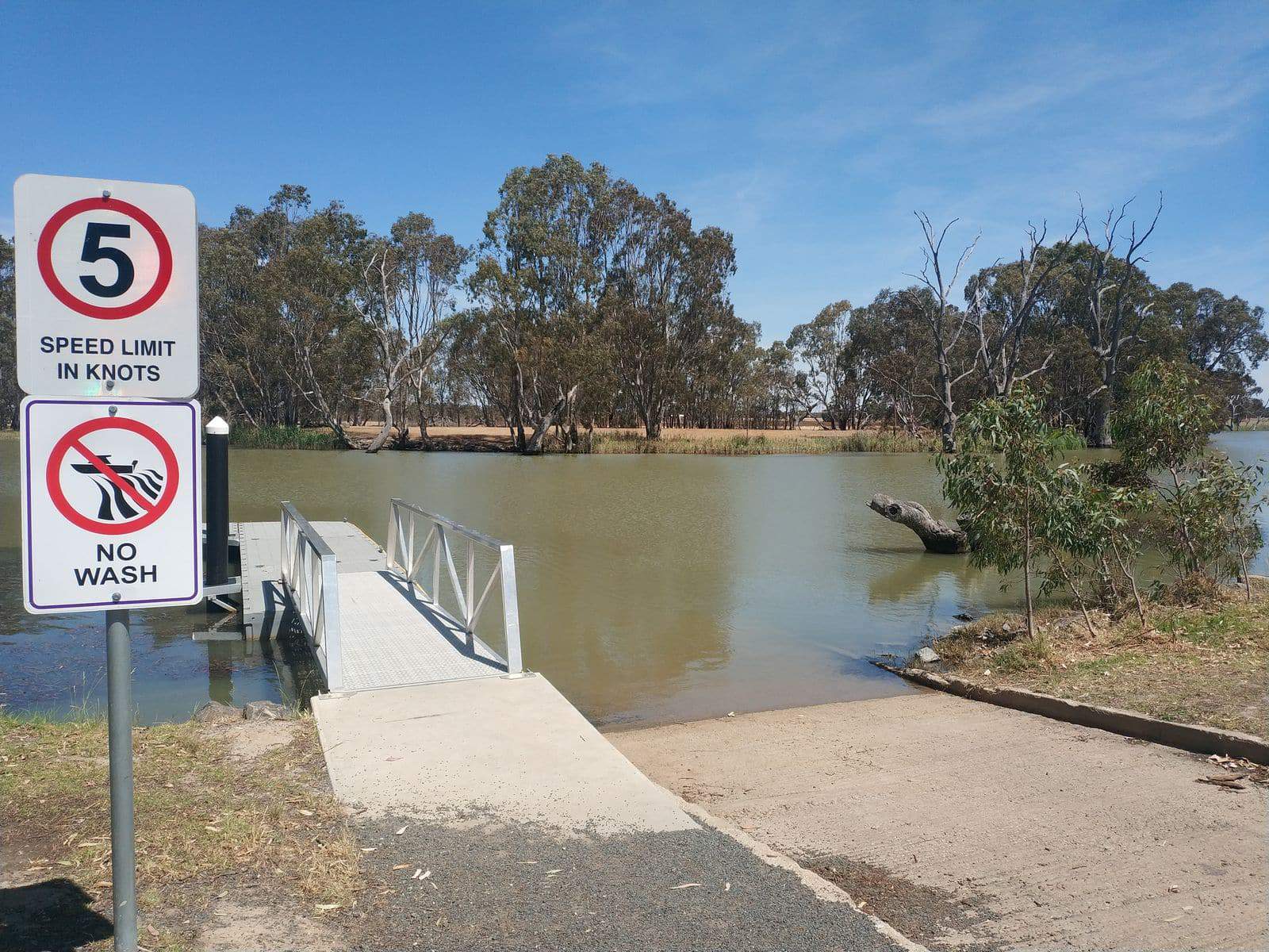
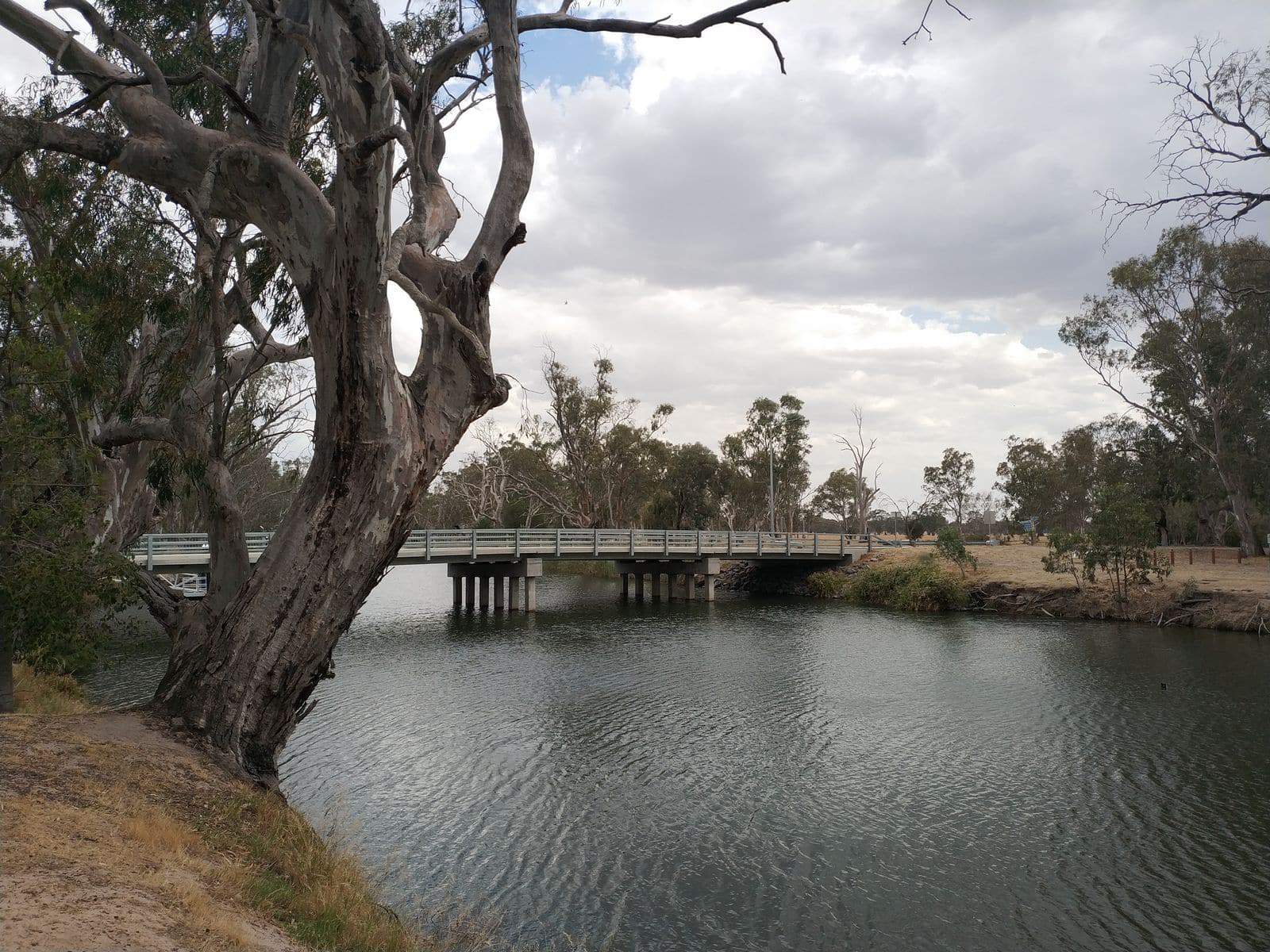
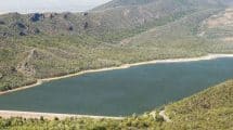
The Wimmera River also has a number of boat ramps, a clear indication of the popularity of boating on the river. There is no better way to experience the serenity of the Grampians than by boating on the calm waters of the Wimmera River.
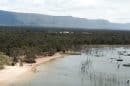
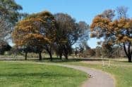
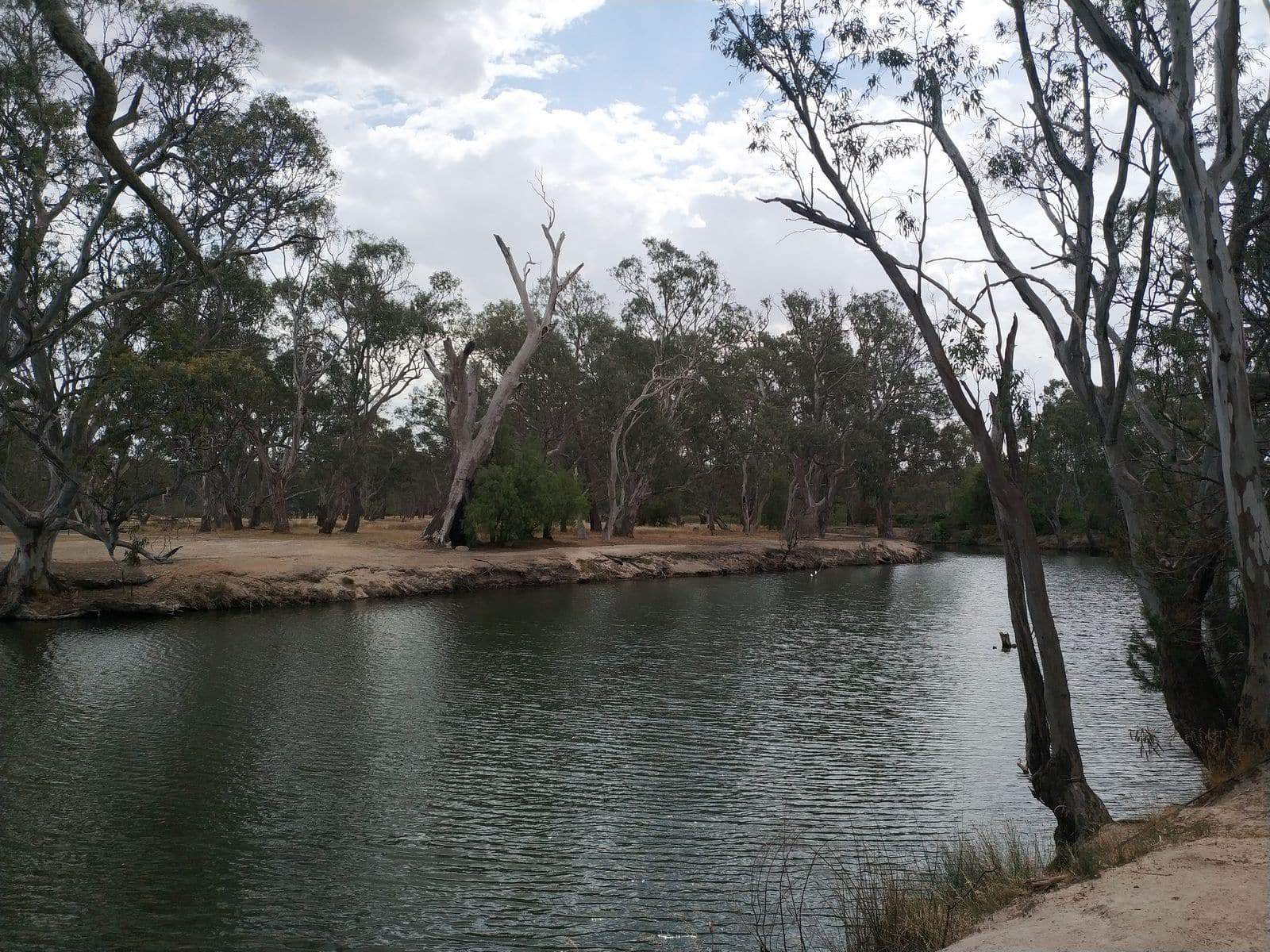
Many visitors will combine boating and picnicking for a day’s getaway. The banks of the river offer excellent picnic sites where visitors to relax and unwind.
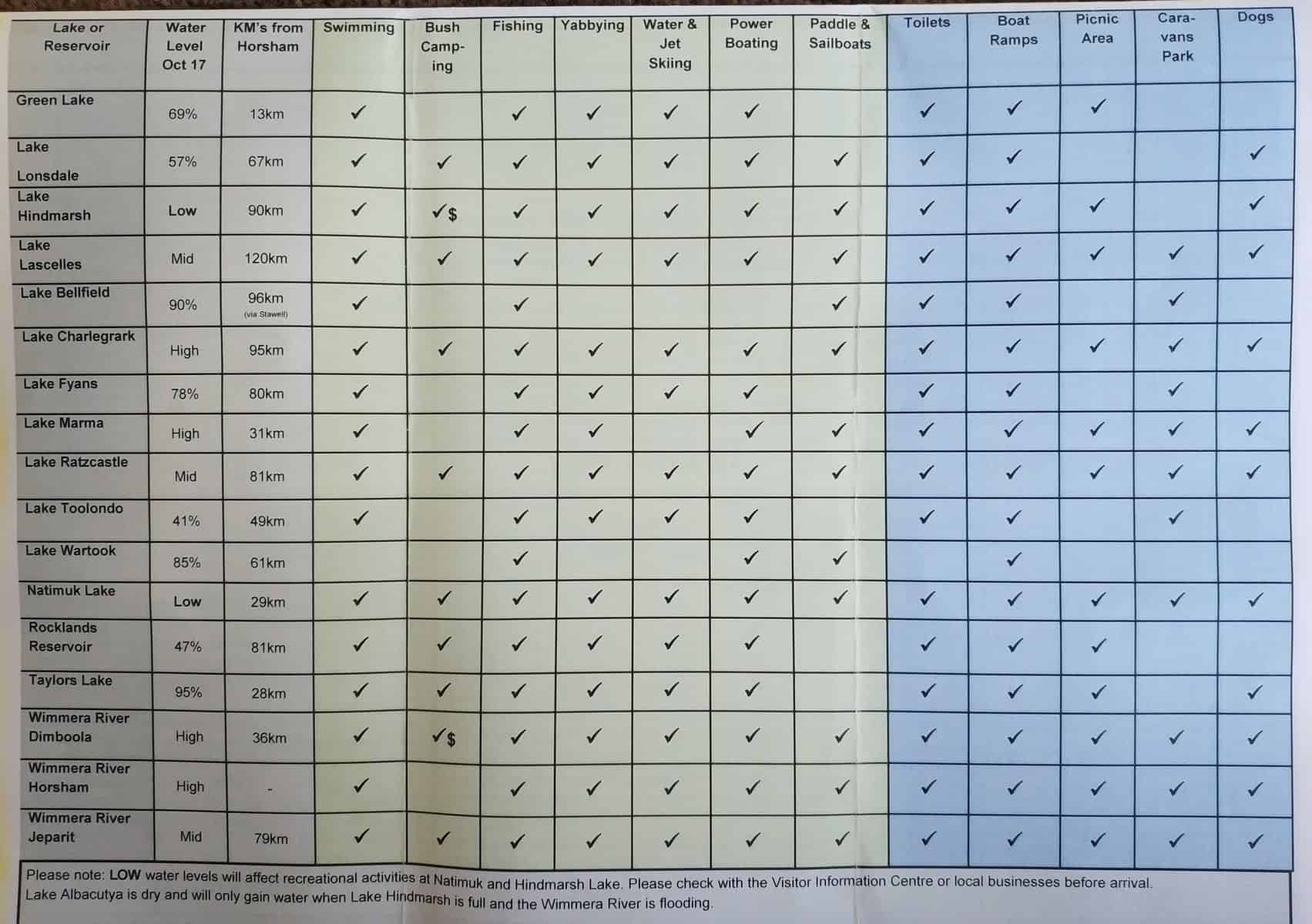
There are also camping grounds nearby at the Horseshoe Bend Campground. Advanced bookings and payment are required and the campsite has 30 unpowered sites available. Flush toilets, fireplaces and picnic tables are provided however campers should note that there is no drinking water on site and you must bring your own.
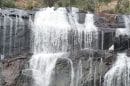
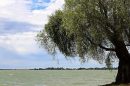
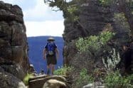
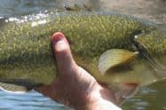
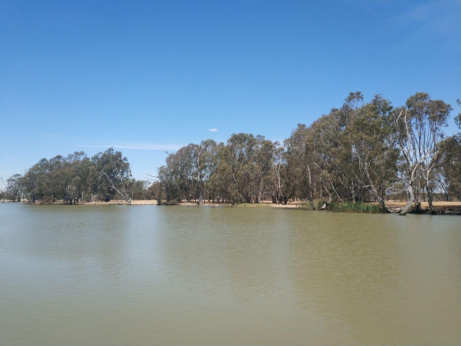
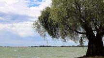
Nature enthusiasts visiting Wimmera will love the different tree species that line the river’s length. Ancient red gums tower above the river which is home to numerous bird species, great for the avid bird watcher.


Can one canoe the Wimmera from Dimboola to lake Hindmarsh?
Hi Dean,
Having traced the entire river path on Google Maps and looking at a number of other websites, it does in fact seem like you can canoe that distance.
Reviewing the Hindmarsh Tourism website, it states “During and after seasonal rain the Wimmera River offers an exceptional extended canoe journey, from Dimboola through to Lake Hindmarsh. In dryer times the river level is controlled by weirs at both Dimboola and Jeparit allowing for some half-day to full-day paddles.”
Having reviewed the whole journey on Google, the river does branch off quite a lot and when you get closer to Lake Hindmarsh, so to ensure you don’t get lost or waste time and energy paddling the longer way, I would suggest having a paper map or GPS tracking available.
I am not sure of the distance on the river since it zigzags so many times, but travelling by car is over 43km, so odds are it is much longer than that by water.
Thanks
Michael