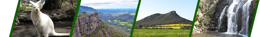
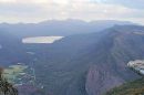
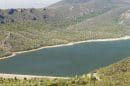
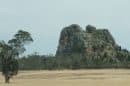


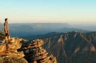


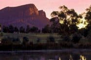


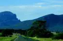


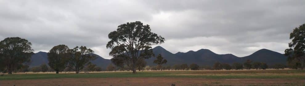
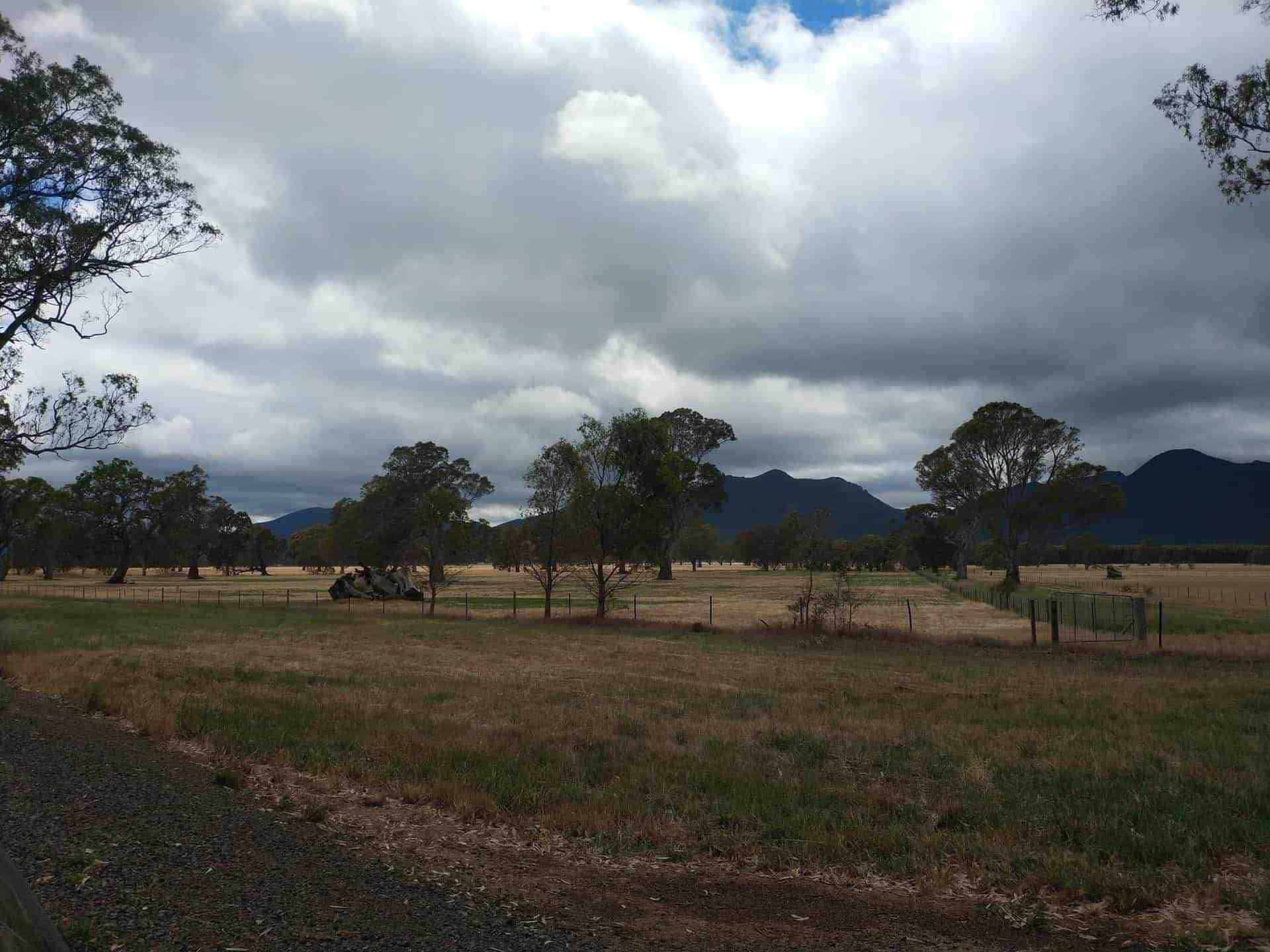
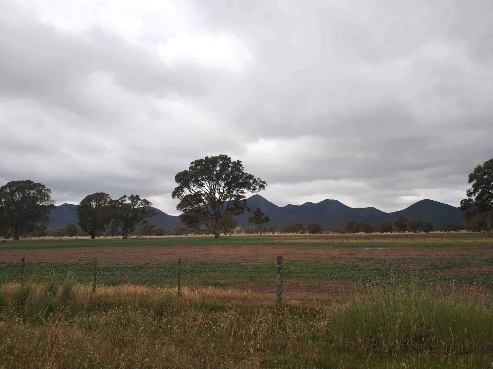
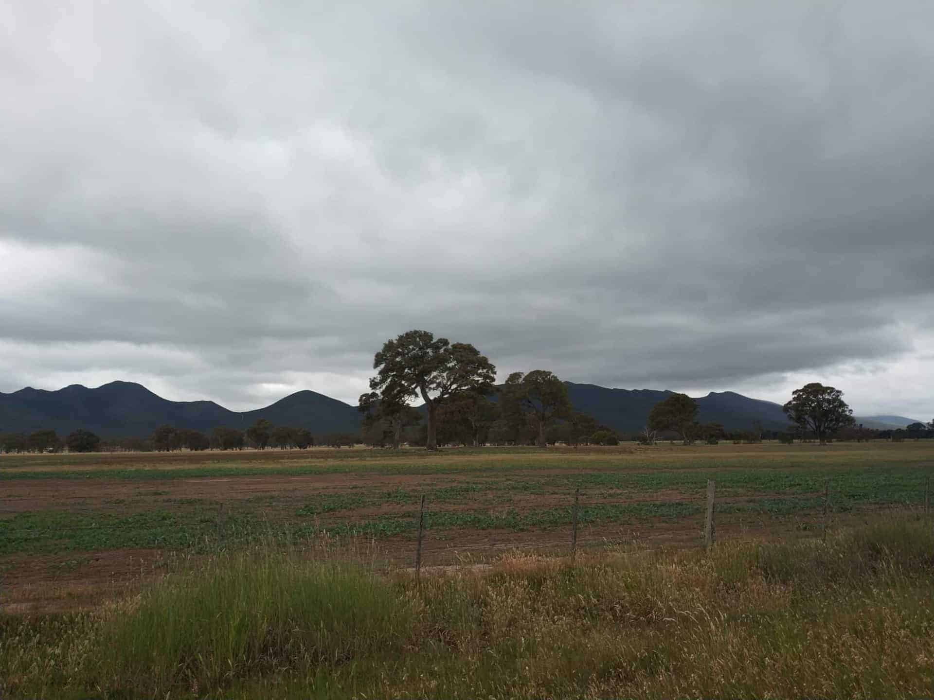
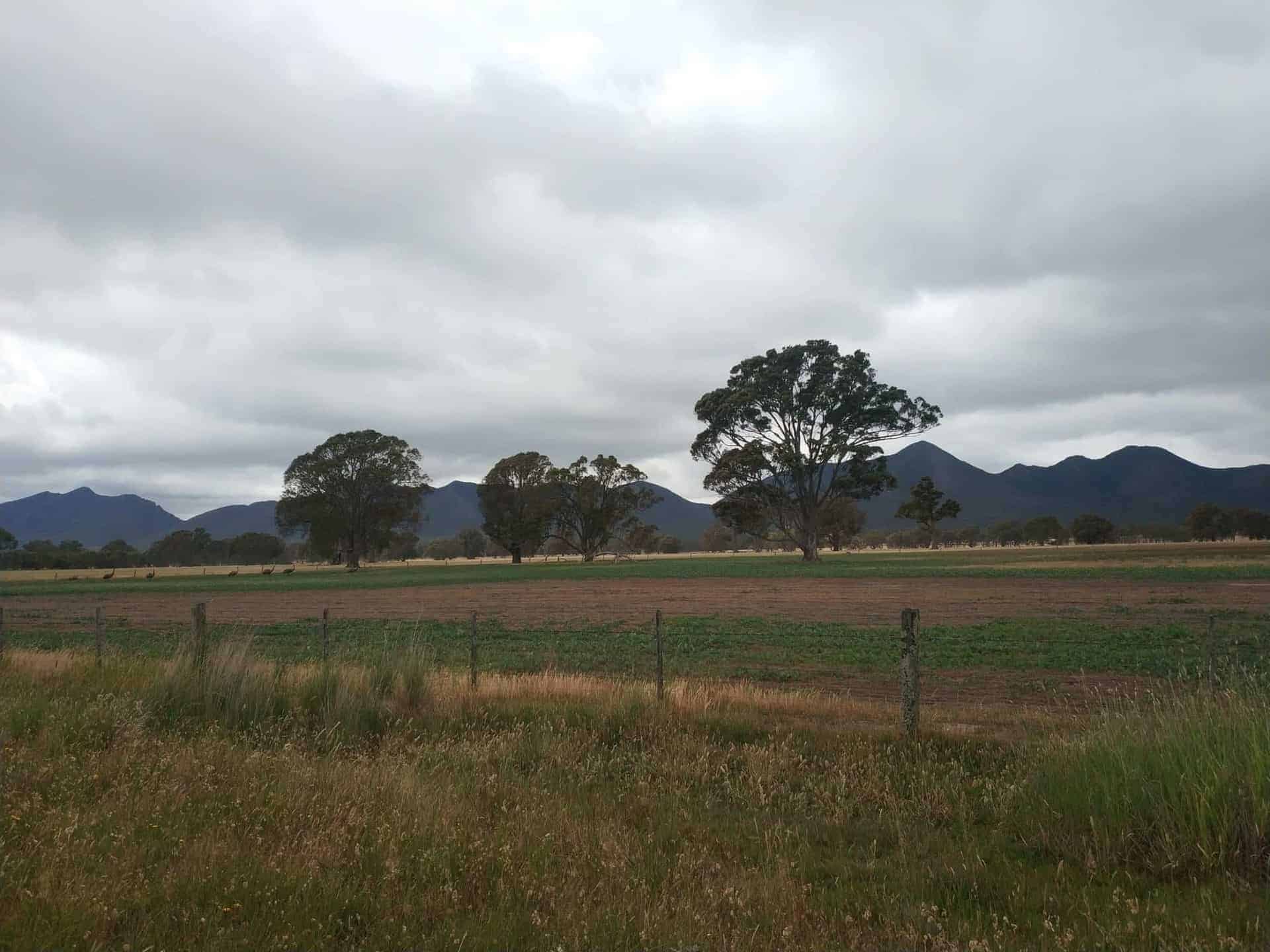
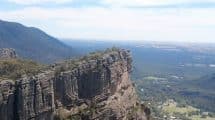
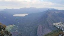
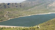
The majestic Serra Range is the longest of all the ranges located in the Grampians National Park.
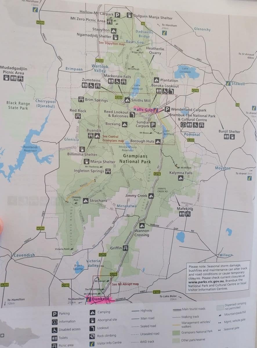
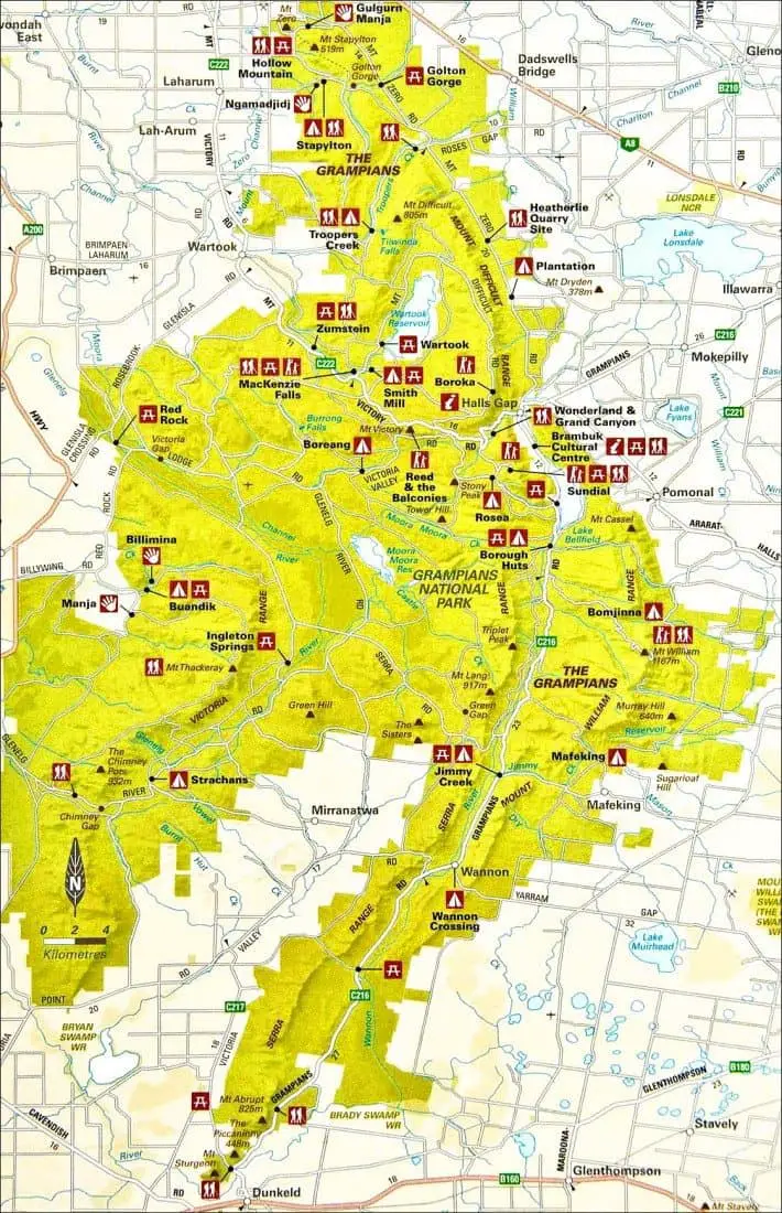
The other ranges included in the 160,000-hectare park are the Victoria Range, Mt William Range, and the Mt Difficult Range.
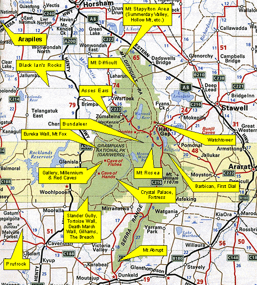
Serra Range Mountains & Hiking Trails, Grampians National Park, VIC
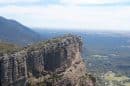
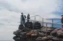
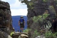
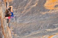
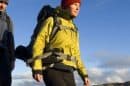
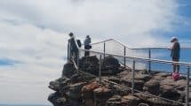
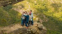
The best way to make your way up the range is to start from its west, which features a dirt track and will eventually require climbing up a cliff 100 meters high. The track takes you from north to south using a parallel trail within the range; keep walking east and going uphill until you reach a big cliff or the summit.
Getting back is easy; all you need to do is walk the opposite direction, going west then downhill. Good navigation on the mountain will come in handy though it isn’t necessary.
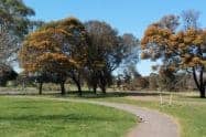
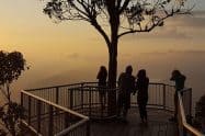
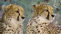
Serra Range is home to a spectacular array of trees, plants, flowers, and wildlife. For this reason, botanists enjoy exploring the mountain ranges because it gives you an opportunity to get up close and personal to untouched nature.

Do You Have a Question to Ask?